What is recorded here
Nine rectangular fields still break the gentle Kildare pasture into a square half a kilometre across, their low scarps and shallow fosses drawing boundaries that no longer need ropes or men to remember. The ruined castle sits inside this finished room, suggesting the land was shaped before pride or profit entered the design. Perhaps people walked the fosses when water stood in them, or perhaps they simply liked watching the fields hold their shape against the sky.
In open, very gently undulating pasture. A large square area (dims. L c. 200m; Wth c. 200m), incorporating a ruined castle (KD003-005001-) and a possible hollow way (KD003-005003-), is comprised of some nine rectangular fields (dims. L 30-50m; Wth 20-50m) defined by low scarps (H 0.3-0.6m) over external ground level and separated by broad, shallow fosses (Wth 2-3m: D 0.2-0.4m).
Compiled by: Gearóid Conroy
Date of upload: 10 June 2011
The monument record does not grant public access. Check the route and ask the landowner before entering private land.
- What survives
- Recorded monument
Places near here
 Site of Balrinnet CastleCastle, unclassified · 6 yd
 Site of ChurchChurch · 978 yd
 Site of ChapelChurch · 1684 yd
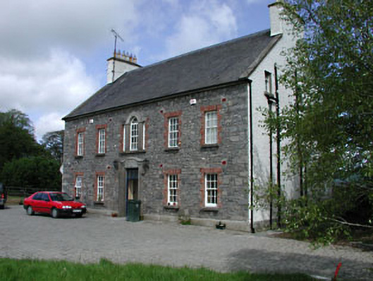 Kilglass Househouse · 1708 yd
 CastleCastle, unclassified · 1.1 mi
 Saint Brigid's Catholic Churchchurch/chapel · 1.2 mi
 Buggan's WoodWood · 1.3 mi
 Bog WoodsWood · 1.5 mi
 Croppies' GraveMemorial · 2.9 mi
 The Fairy BowerHeritage attraction · 8.8 mi
 Lullymore Heritage ParkHeritage attraction · 8.8 mi
 Sli na Slainte - mapVisitor information · 10 mi