What is recorded here
Cutaway bog on Ballynew hill has hidden angular stone walls since antiquity. Some stretches still mark rectangular fields on the north slope, while a curved barrier and crossing line divide the summit. The stones may have guided livestock, separated households, or drawn boundaries for rituals before the bog swallowed them.
In cutaway bog on the summit and N slopes of Ballvnew hill. Two areas of pre-bog walls are visible: (a) GA022-088---- a discontinuous wall, comprising orthostats and large boulders, curves from NE through E to S, partially enclosing the hill summit. A cross-wall runs over the summit itself. Covers an area c. 150m by 75m. (b) On NE slopes of the hill are at least ten separate stretches of wall covering an area c. 300m by 400m. These are stony banks and appear to form rectangular fields. One of the walls terminates at a large orthostat of similar dimensions to a nearby standing stone (GA022-107----). There is also a possible stone pair (GA022-089----) on NW slope of the hill.
The above description is derived from the published 'Archaeological Inventory of County Galway Vol. I - West Galway'. Compiled by Paul Gosling (Dublin: Stationery Office, 1993).
Date of upload: 05 August 2010
The monument record does not grant public access. Check the route and ask the landowner before entering private land.
- What survives
- Recorded monument
Places near here
 BallynewMountain / peak · 392 yd
 Cross in Ballynew (ballynahinch By.)Cross · 593 yd
 Field system in Ballynew (ballynahinch By.)Field system · 1027 yd
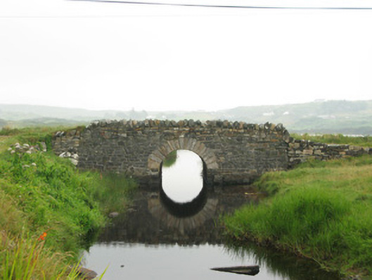 bridgebridge · 1493 yd
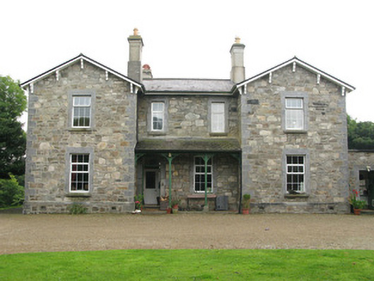 Cleggan Househouse · 1.1 mi
 GlassillaunIslet · 1.2 mi
 ClegganVisitor information · 1.6 mi
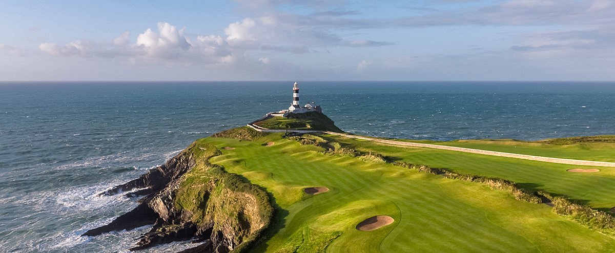 Freaghillaun SouthMountain / peak · 1.6 mi
 Cleggan fishing disaster 28th October 1927Memorial · 1.6 mi
 InishbroanIslet · 3.1 mi
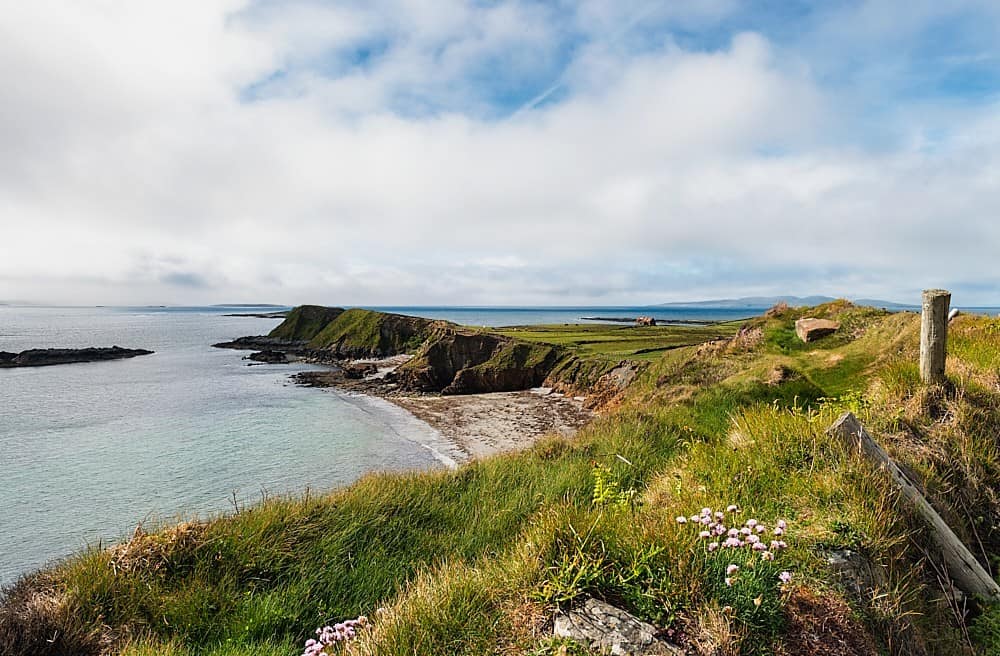 Rinvyle PointHeadland · 3.3 mi
 Bawn in Doon (ballynahinch By.)Bawn · 3.4 mi