What is recorded here
Faint rectilinear cropmarks, some perpendicular to each other, covering area of c. 3ha, visible on aerial photograph (CASAP, July 1989). Cropmarks indicate traces of possibly two distinct overlapping relict field systems.
The above description is derived from the published 'Archaeological Inventory of County Cork. Volume 4: North Cork' (Dublin: Stationery Office, 2000). In certain instances the entries have been revised and updated in the light of recent research.
Date of upload/revision: 14 January 2009
The monument record does not grant public access. Check the route and ask the landowner before entering private land.
- What survives
- Recorded monument
Places near here
 Grave YardGraveyard · 664 yd
 Market House Market Housemarket house · 958 yd
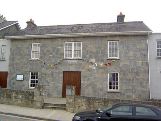 Community Centreschool · 973 yd
 Churchtown Horse Racing HeritageMonument · 1047 yd
 Windmill HillMountain / peak · 1113 yd
 Castle (Site of)Castle, unclassified · 1.3 mi
 Ballyhoura WayWalking route · 1.5 mi
 Churchtown TrailsVisitor information · 1.6 mi
 CarrigadoonCastle, unclassified · 2.1 mi
 Battle of LiscarrollMajor battlefield · 2.6 mi
 Lady's WellSpring · 3.1 mi
 Buttevant Rail DisasterMemorial · 3.5 mi