What is recorded here
Situated on what might be a rise in a fairly level landscape. The group of three or four small contiguous fields (dims c. 30m x c. 30m) defined by wide ditches (Wth c. 3-6m) and covering an area of about 1.5 hectares (c. 4 acres) is visible on OSI images (1995) and Google Earth (24/06/2019). It was first reported by Jean-Charles Caillére.
Compiled by: Michael Moore
Date of upload: 2 April, 2019
The monument record does not grant public access. Check the route and ask the landowner before entering private land.
- What survives
- Recorded monument
Places near here
 Caulstown Christmas Tree FarmForest · 821 yd
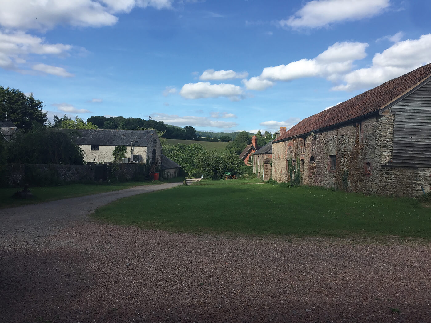 Enclosure in NuttstownEnclosure · 1015 yd
 Enclosure in BallintryEnclosure · 1.1 mi
 Wesley's WoodsWood · 1.4 mi
 Kilbride MoatCastle, motte · 1.9 mi
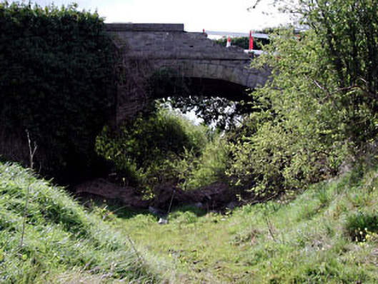 bridgebridge · 2.0 mi
 Church (in Ruins)Church · 2.1 mi
 Site of Old CastleCastle, unclassified · 3.3 mi
 AshbourneMemorial · 3.6 mi
 Graveyard in BuzzardstownGraveyard · 3.8 mi
 Hanwood GardensHeritage attraction · 4.4 mi
 Ash HillMountain / peak · 4.8 mi