What is recorded here
Located on a fairly level landscape at the N foothills of Slieve na Calliagh ridge. Aerial photographs from 1991 (GB91.DD.37; GB91.DE.05) show an area of about 24 acres (c. 10 ha) that contains relict field banks or walls forming irregularly rectangular fields (dims c. 60m x c. 50m). One field neatly encloses the enclosure (ME009-107----). The fields are overlaid by NW-SE furrows but elements of the field walls are cut by the possible cursus (ME009-087----), suggesting that it might be a late feature like a roadway.
Compiled by: Michael Moore
Date of upload: 2 November 2018
The monument record does not grant public access. Check the route and ask the landowner before entering private land.
- What survives
- Recorded monument
Places near here
 Enclosure in BallinvallyEnclosure · 71 yd
 Enclosure in Ballinvally,drumsawry OR SummerbankEnclosure · 153 yd
 indicatedChurch · 952 yd
 CastleCastle, unclassified · 962 yd
 Loughcrew Megalithic TombsHeritage attraction · 1260 yd
 LoughcrewMegalithic tomb cemetery · 1324 yd
 Slieve Na CalliaghMountain / peak · 1357 yd
 Carnbane WestMountain / peak · 1375 yd
 C11Named rock · 1382 yd
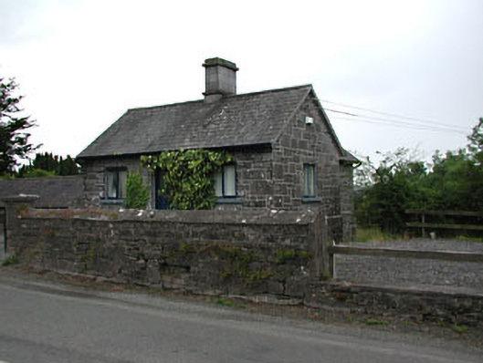 gate lodgegate lodge · 1.5 mi
 Common LimeCommon Lime · 1.5 mi
 Oliver Plunkett memorialMemorial · 1.5 mi