What is recorded here
In undulating pastureland, located at the W end of a natural ridge overlooking Sligo Bay. An aerial photograph (OS 1 3303-4, Roll 158, Pr. 30) reveals the outline of fragmentary field boundaries, on roughly E−W and NNE−SSW axes, and cultivation ridges (SL014-007003-), on a roughly E−W axis, which extend over an area of c. 240m N−S by c. 130m E−W. No remains were evident at ground level when the location was inspection in 2004.
Compiled by: Patrick F. O'Donovan
Date of upload: 21 April 2011
The monument record does not grant public access. Check the route and ask the landowner before entering private land.
- What survives
- Recorded monument
Places near here
 Cultivation ridges in BallincarCultivation ridges · 1 yd
 Field system in BallincarField system · 455 yd
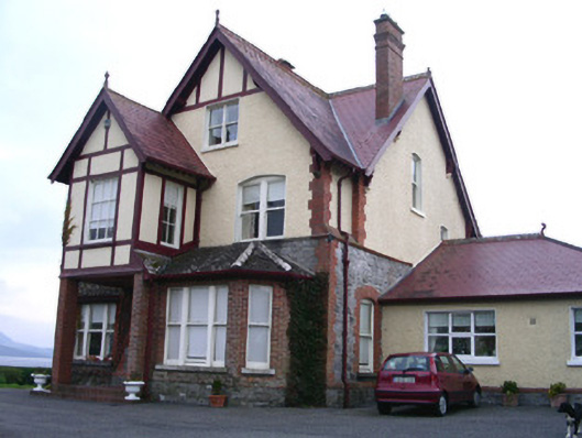 Rossavillehouse · 693 yd
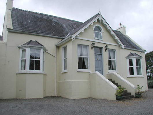 Saint Helen'shouse · 856 yd
 Famine MemorialMonument · 2.1 mi
 CastleCastle, Anglo-Norman masonry castle · 2.1 mi
 Discover IrelandVisitor information · 2.2 mi
 St. John's CathedralMemorial · 2.3 mi
 SligoVisitor information · 2.3 mi
 European BeechEuropean Beech · 2.3 mi
 Model Niland GalleryHeritage attraction · 2.3 mi
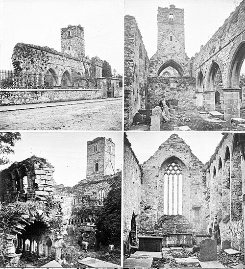 Sligo AbbeyMuseum · 2.4 mi