What is recorded here
In pasture, on E shore of Lough Carra possibly associated with ecclesiastical sites (MA100-113001-, MA100-112001-, MA100-113----). Earthen banks extending over large area enclose a number of fields.
The above description has been derived from D. Lavelle (compiler), An Archaeological Survey of Ballinrobe and District including Lough Mask and Lough Carra. Lough Mask and Lough Carra Tourist Development Association (1994), No. 561.
Date of upload: 11 February 2013
The monument record does not grant public access. Check the route and ask the landowner before entering private land.
- What survives
- Recorded monument
Places near here
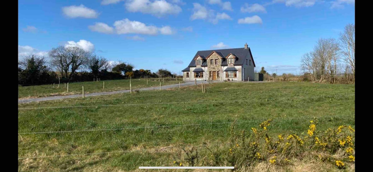 IndicatedReligious house, Augustinian nuns · 60 yd
 Church (in Ruins)Church · 74 yd
 Caislen-na-CailligheCastle, unclassified · 517 yd
 Creevagh IslandIslet · 587 yd
 Connors IslandIslet · 864 yd
 Kiltoom PointHeadland · 1357 yd
 Caislen-na-CirceCastle, tower house · 1501 yd
 Moore Hall ForestForest · 1.0 mi
 Moore Hall Forest TrailWalking route · 1.1 mi
 Enclosure in Muckloon OR MoorehallEnclosure · 1.1 mi
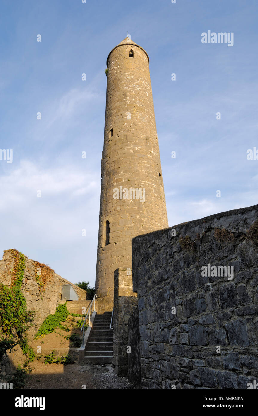 KnockaleenFairy fort / earthen ringfort · 1.8 mi
 Castlepark WoodWood · 2.3 mi