What is recorded here
Two parallel field walls (H 0.2m; Wth 1.1m) running from N to S which are 31m apart and are visible amongst the sand dunes and appears to form part of a larger field system of unknown date. A third field boundary runs W from the N end of the two field walls. The rest of the field system has been covered by the sand but in places where erosion of the sand has occurred the field system is visible. A nearby Man-made underground passage (DG015-015-) located immediately to the S of the visible section of the two field walls may be contemporaneous with the field system.
Compiled by: Caimin O'Brien
Date of upload/revision: 02 May 2010
The monument record does not grant public access. Check the route and ask the landowner before entering private land.
- What survives
- Recorded monument
Places near here
 Cashelnaclogherny Stone FortFairy fort / stone ringfort · 766 yd
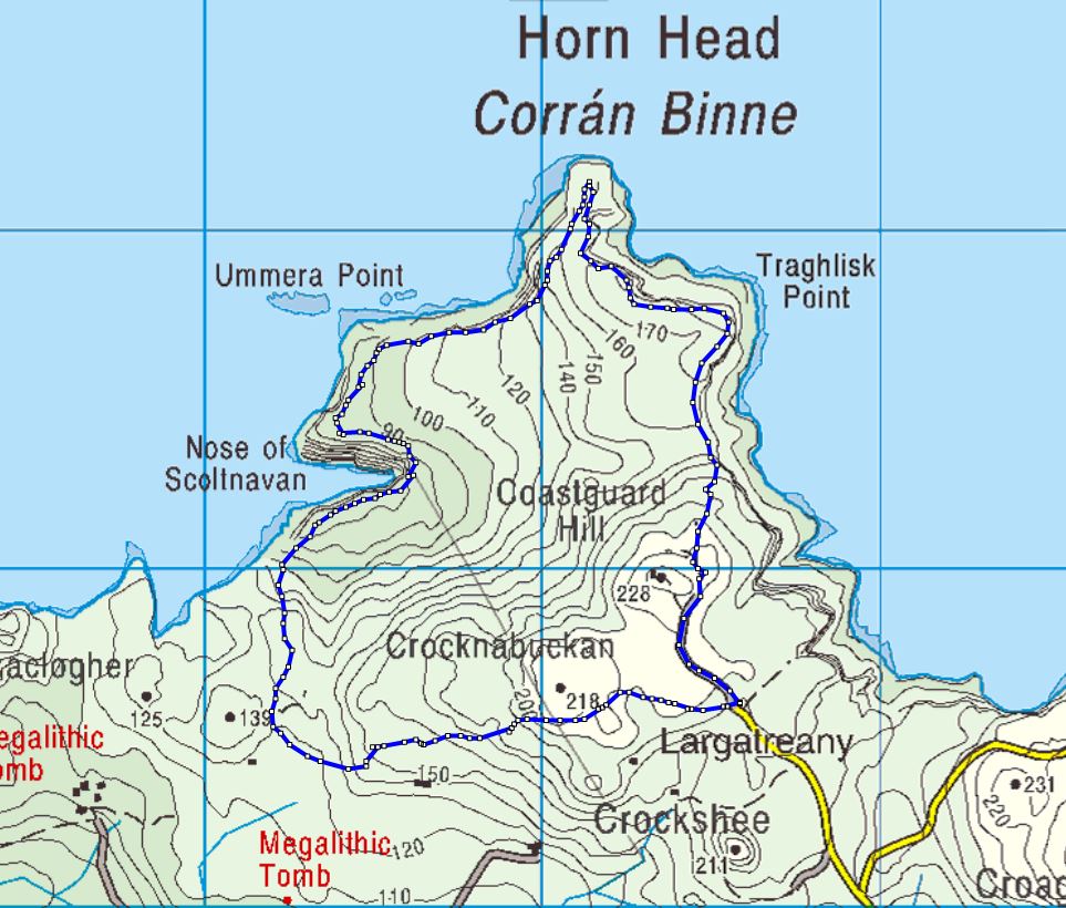 Cloghernagh Stone EnclosureEnclosure · 862 yd
 Cliffs near Pollaguill BayPublicly named cliff or headland · 1127 yd
 Mc Swyne's GunHeritage attraction · 1232 yd
 Trá Phoill a GhuillBeach / strand · 1295 yd
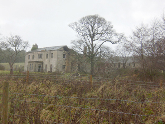 Horn Head Housecountry house · 1449 yd
 Hornhead Bridgebridge · 1553 yd
 Tramore StrandBeach / strand · 1664 yd
 Cliffs near ClagganPublicly named cliff or headland · 1.3 mi
 Castle (Site of)Castle, unclassified · 1.5 mi
 Local Wildlife presentationVisitor information · 1.5 mi
 Kill Old Church GraveyardGraveyard · 1.8 mi