What is recorded here
Ten acres of broken earth still mark theabbey fields, though no wall or gate remains to explain them. The land sits beside a river that has already moved once, and two parallel ditches cut west toward a gatehouse that has vanished. Whatever lived there stopped leaving a name, but the shape of its work is still visible when the grass grows thin.
The following description is derived from the published 'Archaeological Inventory of County Meath' (Dublin: Stationery Office, 1987). In certain instances the entries have been revised and updated in the light of recent research.
Date of upload/revision: 10 July 2007
NE and SE of church (ME027-038011-) are earthworks covering c. 10 acres. Scarp along river bank probably represents an older course of the river, but to W of this are two parallel ditches, perhaps a roadway, leading towards gatehouse (ME027-038014-).
The monument record does not grant public access. Check the route and ask the landowner before entering private land.
- What survives
- Recorded monument
Places near here
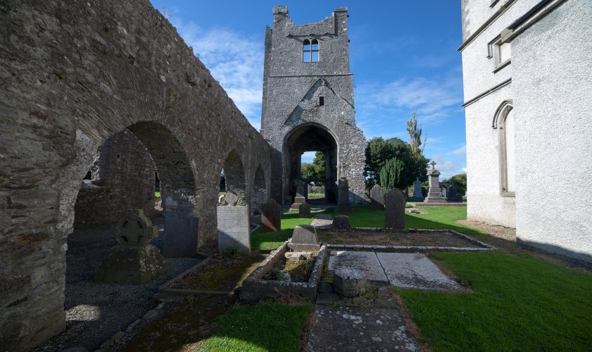 AbbeyReligious house, Augustinian canons · 37 yd
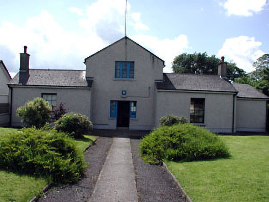 Duleek Garda Síochána StationRIC barracks · 107 yd
 CrossCross, Wayside cross · 150 yd
 Common LimeCommon Lime · 303 yd
 CastleCastle, motte · 556 yd
 Enclosure in PriorylandEnclosure · 607 yd
 Athcarne CastleCastle, tower house · 2.3 mi
 Boyne Currach CentreHeritage attraction · 3.0 mi
 Brú na Bóinne Visitors CentreVisitor information · 3.1 mi
 Brú na Bóinne Visitor Centre AccessHeritage attraction · 3.1 mi
 Glenmore ForestWood · 3.5 mi
 Newgrange Business ParkMemorial · 3.9 mi