What is recorded here
Located in low-lying land on the S bank of the Ferta river, this series of pre-bog walls covers an area which is bisected by the Deelis-Teeromoyle road and measures c. 350m N-S x c. 200m E-W. A 260m long wall, which disappears beneath the peat intermittently, forms the NW side of the complex. To its E and N are further stretches of both curvilinear and angular walls. Most are quite low and collapsed, while others survive as a series of upright slabs. Excavations of drains and trackways through the bog indicate that several of the walls are built on the pre-peat mineral soil, which occurs at an average depth of 1.3m below the bog surface.
A possible standing stone (KE070-066002-) occurs 45m W of the complex. Rectangular in elevation, it stands to a maximum height of 1.25m and measures .85m x .1m at base; NE-SW.
The above description is derived from A. O'Sullivan and J. Sheehan (compilers), 'The Iveragh peninsula: an archaeological survey of South Kerry'. Cork University Press (1996), no. 65. In certain instances the entries have been revised and updated in the light of recent research.
Date of upload: 28 July 2013
The monument record does not grant public access. Check the route and ask the landowner before entering private land.
- What survives
- Recorded monument
Places near here
 IndicatedFairy fort / earthen ringfort · 939 yd
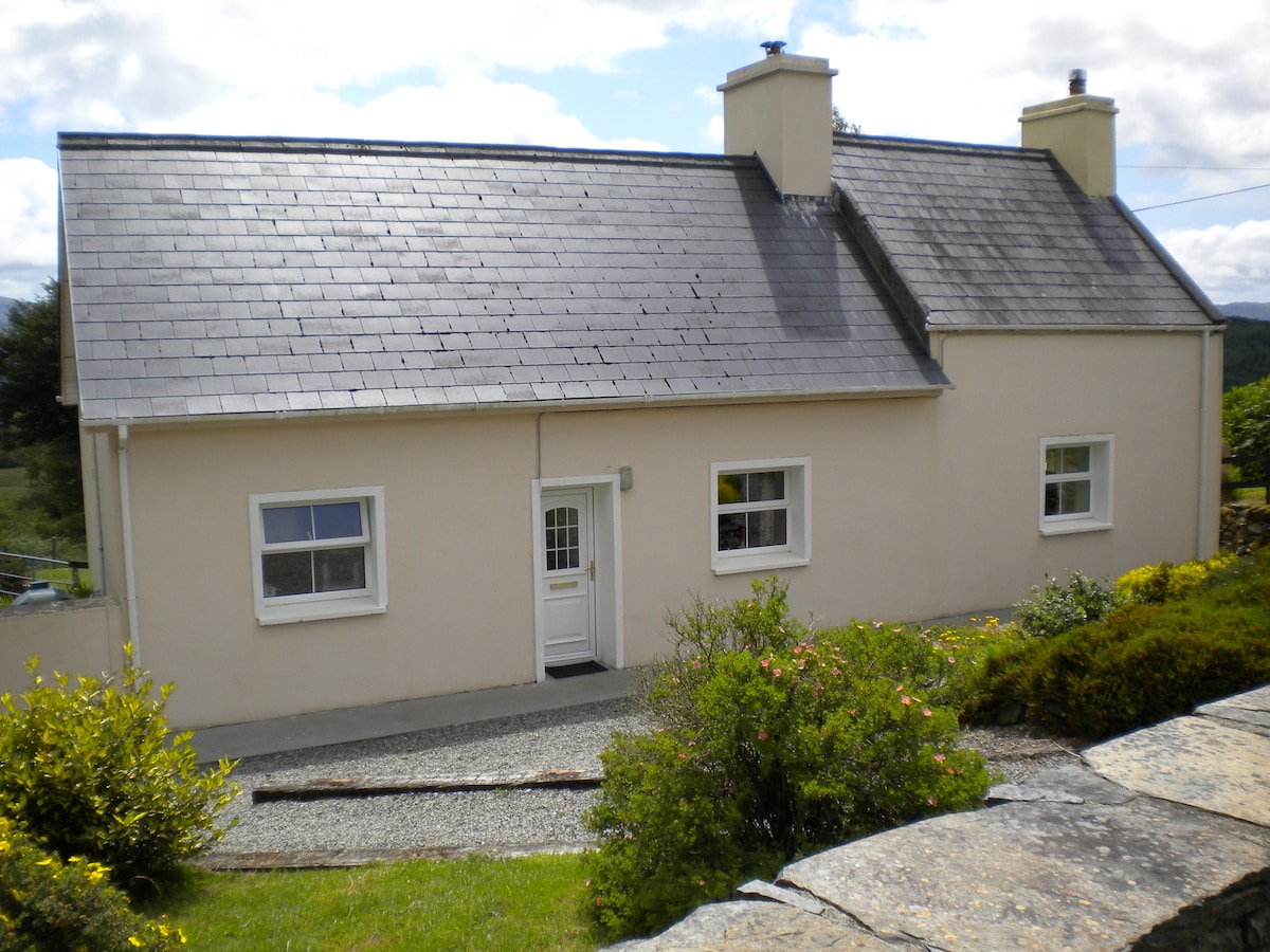 Sweathouse in TeeromoyleSweathouse · 1.1 mi
 Church in CaherlehillanChurch · 1.1 mi
 CaunogeMountain / peak · 1.9 mi
 Short Castle (Site of)Castle, unclassified · 2.5 mi
 Killinane Church (in ruins)Church · 2.5 mi
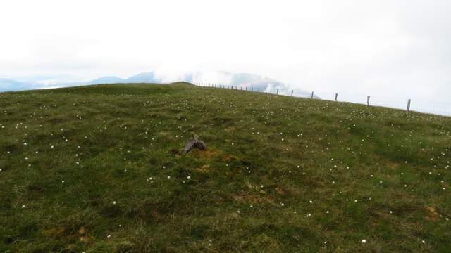 Been HillMountain / peak · 2.7 mi
 Soft Tree-fernSoft Tree-fern · 3.4 mi
 Chilean wine palmChilean wine palm · 3.5 mi
 Kells BeachBeach / strand · 3.6 mi
 Sheep Dog TrainingHeritage attraction · 4.2 mi
 FeaklecallyHeadland · 4.9 mi