What is recorded here
Situated immediately W of stone hut site (KE013-005----) the prehistoric wall runs E-W for c 32m and then curves S for a further 26m. It is on average 1.3m wide.
The above description is derived from C. Toal, ‘North Kerry Archaeological Survey’. Dingle. Brandon in association with FAS Training and Employment Authority (1995), no. 1109. In certain instances the entries have been revised and updated in the light of recent research.
Date of upload: 21 November 2013
The monument record does not grant public access. Check the route and ask the landowner before entering private land.
- What survives
- Recorded monument
Places near here
 Kerry Head Signal TowerRuins · 836 yd
 Enclosure in TiduffEnclosure · 1.3 mi
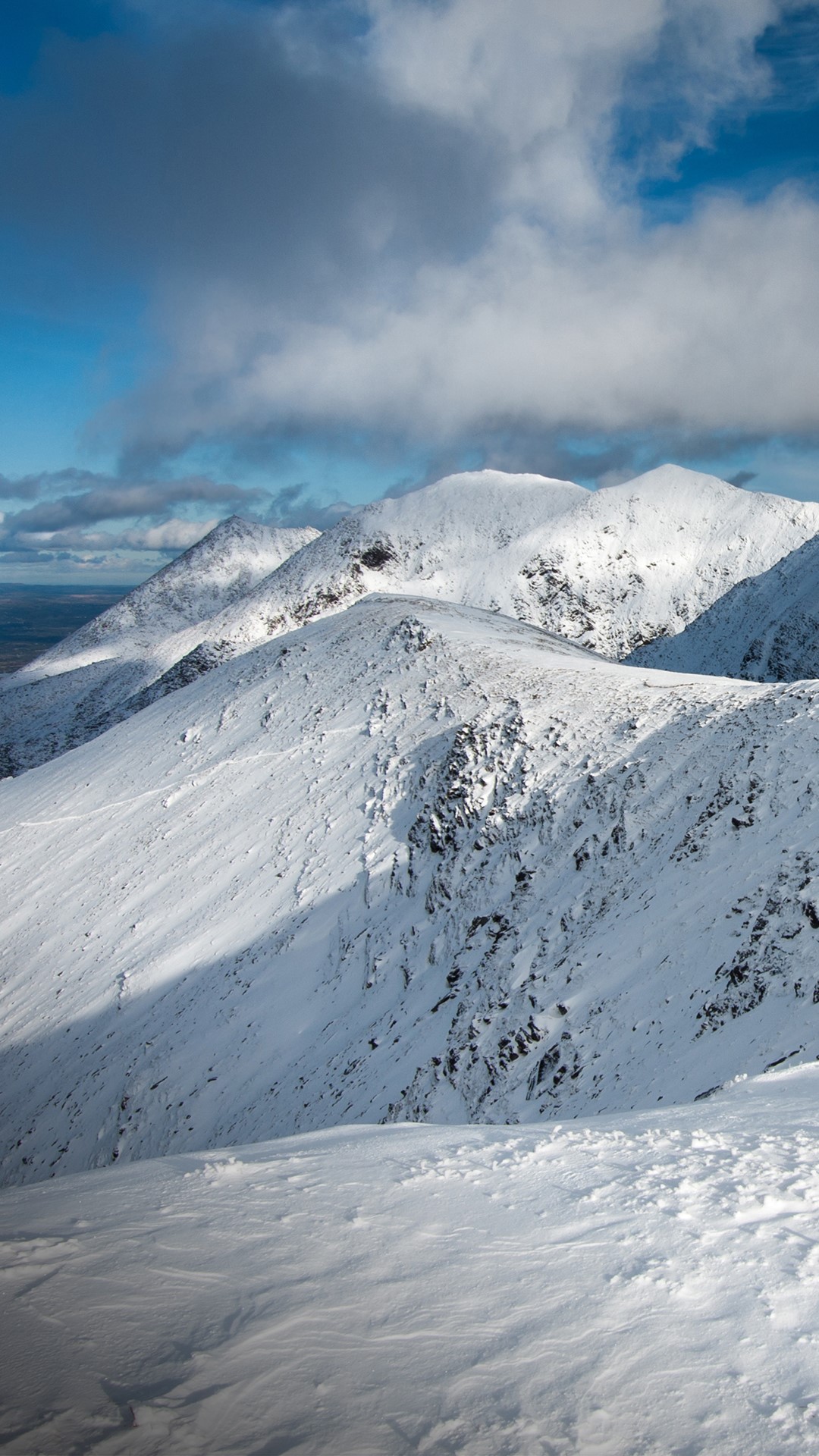 Triskmore MountainMountain / peak · 1.4 mi
 Mohaunagat FortArchaeological place · 1.7 mi
 St Macadaws Church (in ruins)Church · 1.8 mi
 Triskbeg MountainMountain / peak · 2.0 mi
 Site of Ballingarry CastleCastle, unclassified · 4.6 mi
 Our Lady's Holy WellSpring · 4.9 mi
 Castle Shannon (in ruins)Castle, unclassified · 5.5 mi
 Inshaboy PointHeadland · 5.9 mi
 Banna StrandBeach / strand · 7.2 mi
 IllaunboeIslet · 7.5 mi