What is recorded here
Located on the SW side of a high rise of land that overlooks the confluence of the Glashawee, Owenroe and Caragh rivers, this complex consists of up to sixty strctches of pre-bog walls. They range from 20m to 100m long, from .6m to 1m wide and are preserved to a maximum height of .5m above the surface of the bog. The walls are mostly composed of large boulders, with intermittent upright slabs.
The above description is derived from A. O'Sullivan and J. Sheehan (compilers), 'The Iveragh peninsula: an archaeological survey of South Kerry'. Cork University Press (1996), no. 62. In certain instances the entries have been revised and updated in the light of recent research.
Date of upload: 28 July 2013
The monument record does not grant public access. Check the route and ask the landowner before entering private land.
- What survives
- Recorded monument
Places near here
 Ecclesiastical site in Shronahiree MoreEcclesiastical site · 1403 yd
 Ooangallaun CaveMan-made underground passage · 1.2 mi
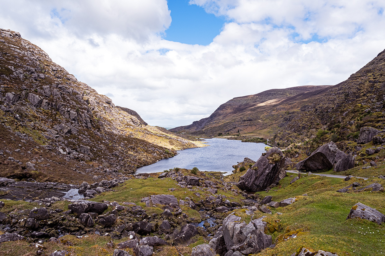
 Ballaghbeama GapViewpoint · 1.6 mi
 MullaghanattinMountain / peak · 1.7 mi
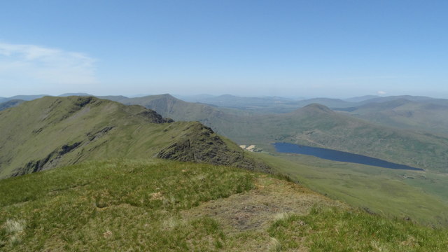 Beann NE TopMountain / peak · 1.9 mi
 Blackstones Bridgebridge · 4.4 mi
 CarrauntoohilMountain / peak · 4.8 mi
 Devil's Ladder RouteWalking route · 6.0 mi
 Penitential station in TreanmanaghPenitential station · 6.4 mi
 Crash site of USAAF DakotaHeritage attraction · 6.6 mi
 De Gaulle MemorialMonument · 8.7 mi
 Sneem Commemoration PlaqueMemorial · 8.8 mi