What is recorded here
In pasture, on a steep W-facing slope. The cropmark of a linear bank (L c. 50m), radiating from the NW arc of the rath (KE067-033----), is visible in an aerial photograph (OSAP, 2119-20) taken in 1989. This possible field wall is not visible at ground level.
Compiled by: Elizabeth Byrne, Ursula Egan and Sheila Ronan, Archaeological Survey Unit, University College, Cork.
Date of upload: 31 January 2011
The monument record does not grant public access. Check the route and ask the landowner before entering private land.
- What survives
- Recorded monument
Places near here
 Sheheree Bog Nature ReserveNature reserve · 439 yd
 Fairy fort / earthen ringfort in FaghbaneFairy fort / earthen ringfort · 844 yd
 Flesk CastleCastle · 917 yd
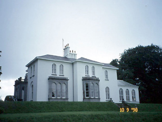 Coolclogher Housecountry house · 970 yd
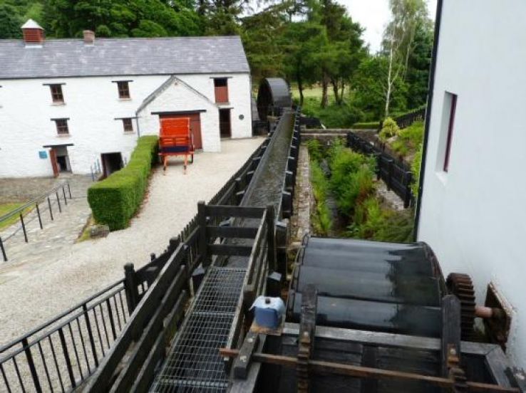 Flesk Mills (Corn) (Disused)Mill, unclassified · 1148 yd
 Cross (present location) in CarrigafreaghaneCross (present location) · 1358 yd
 McCarthy Mor CastleCastle · 1.0 mi
 The Blue PoolGallery · 1.2 mi
 Lissivigeen Stone CircleHeritage attraction · 1.2 mi
 Mass RockNamed rock · 1.4 mi
 Blue Pool Nature ReserveWood · 1.4 mi
 Castlelough BayBay · 1.5 mi