What is recorded here
No visible gap or entrance feature exists in this low earth and stone bank, which runs north-south across the Rinnanane headland in County Donegal. The bank measures about ninety metres long, one and a half metres wide and forty centimetres high, cutting off a possible promontory fort while remaining classified only as a field boundary. Its small size and form suggest an eighteen or nineteen century date, though uncertainty still surrounds when it was first built.
The remains of a low earth and stone bank (Wth 1.5m; H 0.4m; L c. 90m) running from N-S which cuts off a headland jutting into the Atlantic Ocean marked on the 6-inch map as 'Rinnanane' and forming what appears to be a possible promontory fort. There is no evidence of any gap or entrance feature in this field bank. The dating of this field bank is uncertain, and its small size and form would suggest that it is possibly 18th or 19th century in date. An enclosure or cashel (DG097A002-) is located 50m to the NW.
Compiled by: Caimin O'Brien
Date of upload/revision: 02 May 2010
The monument record does not grant public access. Check the route and ask the landowner before entering private land.
- What survives
- Recorded monument
Places near here
 St John's Point Northeast EnclosureEnclosure · 83 yd
 Rabley HillMountain / peak · 765 yd
 St John's Point Quarry-Side EnclosureEnclosure · 897 yd
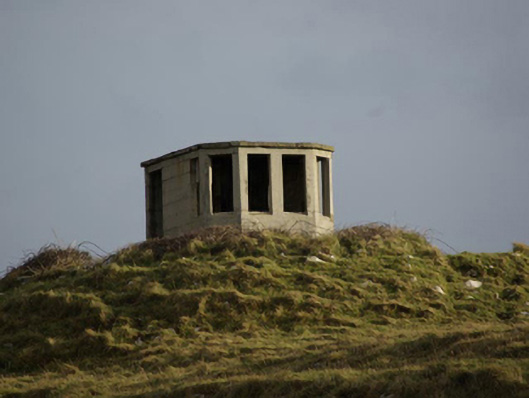 watch tower, signal towerwatch tower, signal tower · 1510 yd
 Saint John's PointLighthouse · 1.1 mi
 Carntullagh HeadHeadland · 2.5 mi
 Rotten IslandIslet · 2.6 mi
 Drumanoo HeadHeadland · 2.7 mi
 Cat CastleCastle, tower house · 3.5 mi
 Bawn in Rahan NearBawn · 3.7 mi
 European BeechEuropean Beech · 4.1 mi
 Killaghtee Old Church GraveyardGraveyard · 4.1 mi