What is recorded here
Just to the E of the rath (ME025-081----) a V-shaped ditch (Wth c. 1.75m; D c. 1.16m) extended NNE-SSW (L 50m plus) that has also been recorded further S at Site 3 (total L 200m plus) as a more substantial feature (Wth 3.4m; D 1.5m) from which a C14 date of 728-736, 771-888 cal. AD (UBA-9927) was returned from a lower layer (Halliday 2009, 45-6). The original ditch seems to have been filled with material derived from its W side, but during Phase 1 it was re-cut twice, each re-cut extending its width eastwards. At the N end it encountered an E-W ditch that was re-cut many times, but the junction was disturbed by later work and primacy could not be established. The E-W ditch is subsequently recorded as a double E-W ditch in a gradiometer survey (19R0127) conducted (Grimson and Garner 2019) immediately E of the road-take (recorded L c. 70m). In Phase 2 the original NNE-SSW ditch was replaced by a single wide U-shaped one (Wth c. 2.5m; D c. 0.8m) that continued further N beyond the junction with the E-W ditch that also had a second phase which was later than the NNE-SSSW Phase 2. There were five pits and at least four liner features around the junction but their function is not known. This boundary appears to have been open for a considerable period, perhaps a thousand years. (Giacometti 2007, 31-5; Halliday 2009, 45-6)
See the attached plan from Halliday (2009, fig. 25)
Compiled by: Michael Moore
Date of upload: 5 April, 2023
Giacometti, A. 2007 Site 1. Navan Inner Relief Road. Licence: 06E0274. Final unpublished report, Arch-Tech
Halliday, S. 2009 Navan Inner Relief Road Scheme, Sites 2 & 3. Licence: 06E0024. Final Excavation Report, Unpublished, Arch Tech
Grimson, H. and Garner, U. 2019 Investigation of Lands at the Local Distributor Road 4 Abbeyland & Moathill, Navan, Co. Meth. Licence: 19R0127. Unpublished report, Earthsound Geophysics
The monument record does not grant public access. Check the route and ask the landowner before entering private land.
- What survives
- Recorded monument
Places near here
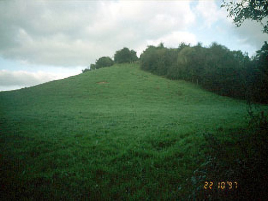 Navan MoatOfficially recorded historic building · 83 yd
 Enclosure in MoathillEnclosure · 123 yd
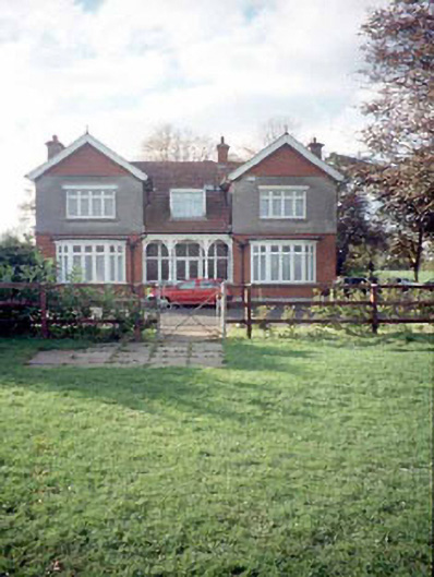 Mount Rivershouse · 191 yd
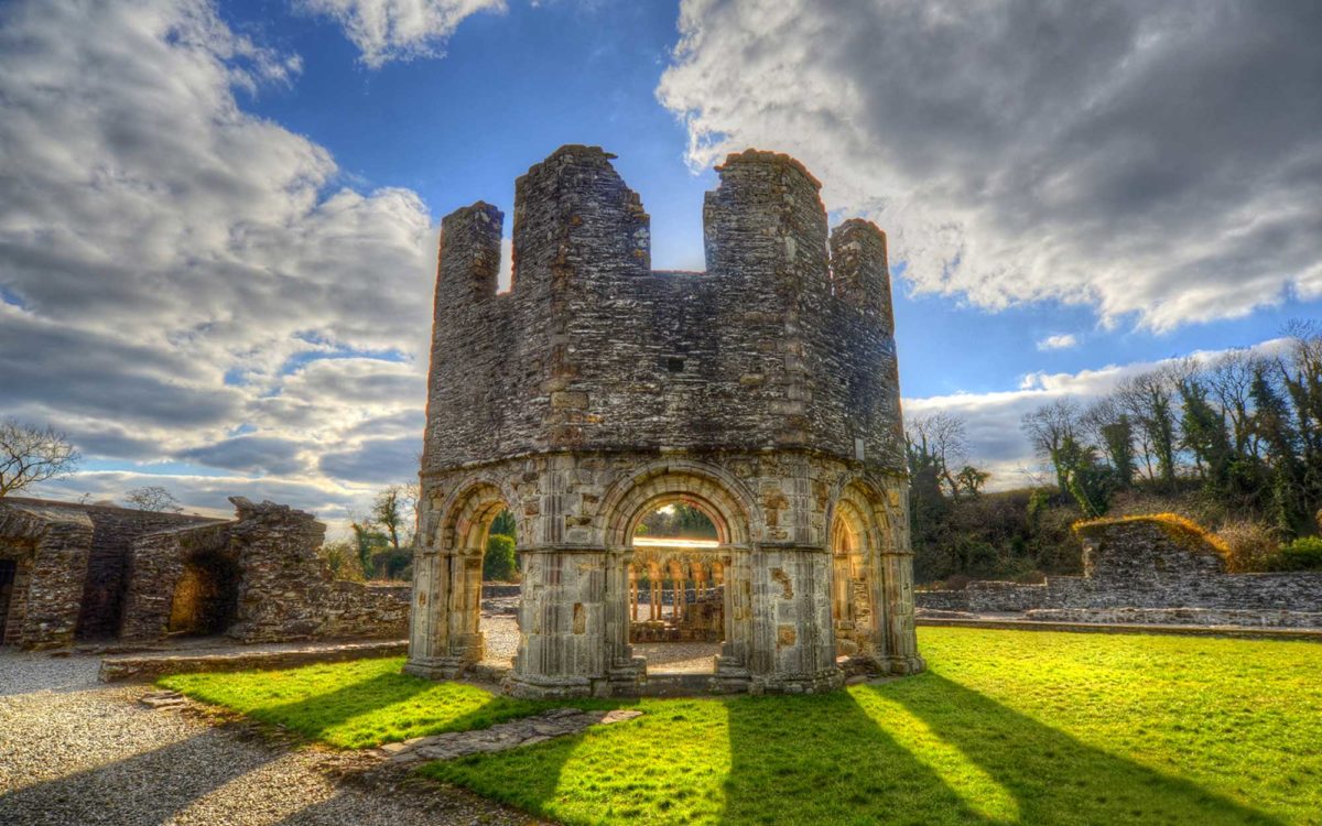 Burnt spread in Abbeyland SouthBurnt spread · 1034 yd
 The RampartWood · 1529 yd
 Nangle CourtMemorial · 1624 yd
 CastleCastle, motte · 1.0 mi
 Rathaldron Ho.Castle, tower house · 1.3 mi
 Blackcastle DemesneWood · 2.0 mi
 Donaghmore Round TowerHeritage attraction · 2.0 mi
 BohermeenMountain / peak · 3.0 mi
 Carn HillMountain / peak · 3.1 mi