What is recorded here
In rough pasture, on a N-facing slope overlooking Ballysadare Bay. An ancient field boundary wall extends SSW from a large glacial erratic (2.3m square), named the 'Giant's Rock', for c. 100m and can also be traced to NE for c. 15m. The boundary is represented by intermittent boulders, the tops of which rise above the surface of the bog. (pers. comm. E. Cody)
The above description is derived from the published 'Archaeological Inventory of County Sligo' compiled by Ursula Egan, Elizabeth Byrne, Mary Sleeman with Sheila Ronan and Connie Murphy (Dublin Stationery Office, 2005).
Date of upload: 18 January 2008
The monument record does not grant public access. Check the route and ask the landowner before entering private land.
- What survives
- Recorded monument
Places near here
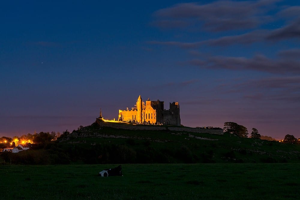 CashelFairy fort / stone ringfort · 405 yd
 IndicatedFairy fort / stone ringfort · 529 yd
 CroaghaunMountain / peak · 683 yd
 Tullaghan HillMountain / peak · 1751 yd
 Kildalough Church (in Ruins)Church · 1.1 mi
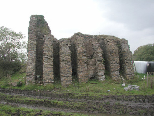 Coolaney Brick Workskiln · 1.3 mi
 RinnatalleenHeadland · 1.4 mi
 Moymlough Castle (in Ruins)Castle, tower house · 1.7 mi
 Derinch PointHeadland · 2.0 mi
 Bawn in Tanrego WestBawn · 2.9 mi
 Battle of Collooneybattle · 3.1 mi
 Teeling MonumentMemorial · 3.1 mi