What is recorded here
Excavated in 2006 in advance of the N9/N10 Waterford to Knoctopher road scheme (Licence no. E3010). A series of five linear boundary ditches (L 4.3-34m). A later corn-drying kiln (KK036-068----) intersected one of the ditches. Sherds of 12-14th century Leinster cooking ware were found in the ditch fill. An oval hearth and three pits were located at the NW end of the excavated area. (Channing 2009, 280, no. 1076; Channing 2010)
Compiled by: Mary Tunney
Date of upload: 29 October 2013
The monument record does not grant public access. Check the route and ask the landowner before entering private land.
- What survives
- Recorded monument
Places near here
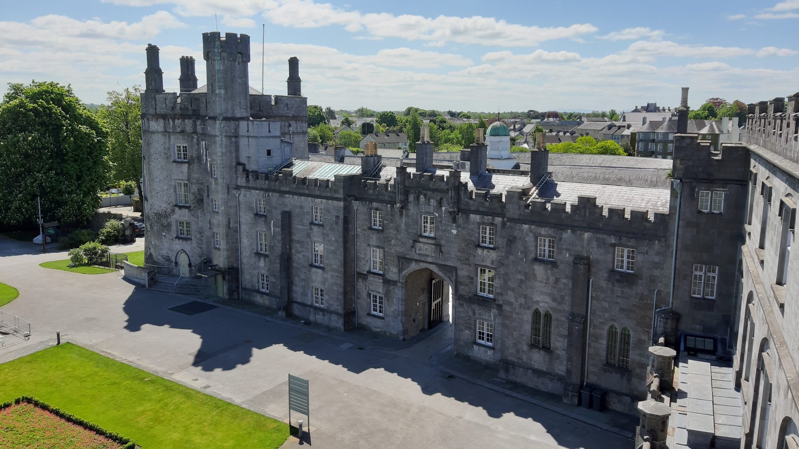 Knocklmoylan CastleCastle · 171 yd
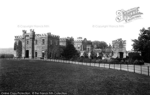 Killeen Ringfort (rath)Archaeological place · 1085 yd
 Knockmoylan Ringfort (rath)Archaeological place · 1134 yd
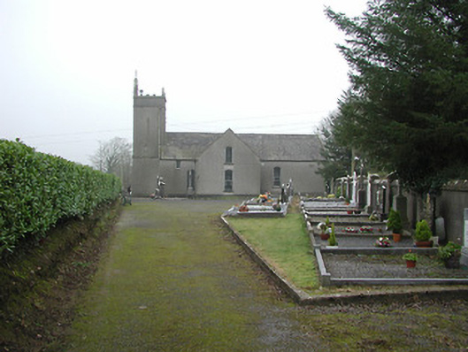 All Saints' Catholic Churchchurch/chapel · 1386 yd
 bridgebridge · 1455 yd
 Crowbally Castle (Site of)Castle, unclassified · 1623 yd
 Thomas PhelanMemorial · 2.6 mi
 Graveyard in KilkeasyGraveyard · 2.6 mi
 Poulanassy WaterfallWaterfall · 3.0 mi
 Corbally WoodForest · 3.6 mi
 Clonassy WoodForest · 3.8 mi
 Castlemorris Pheasant LoopWalking route · 4.9 mi