What is recorded here
In an area of scrubland and rock outcrop with reclaimed land to W and N. An old field wall (L c. 30m), running roughly NNE-SSW, is defined by a single line of large boulders set on edge and regularly spaced c. 1.2m apart. Towards its NNE end a D-shaped field (c. 26m by 11m) defined by a grassed-over stony bank with occasional large boulders set on edge, similar to the field wall, was also noted.
Compiled by: Olive Alcock
Date of upload: 21 September 2017
The monument record does not grant public access. Check the route and ask the landowner before entering private land.
- What survives
- Recorded monument
Places near here
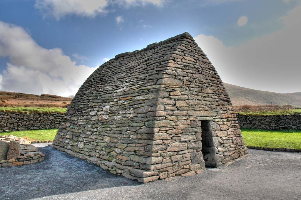 Enclosure in TulliraEnclosure · 707 yd
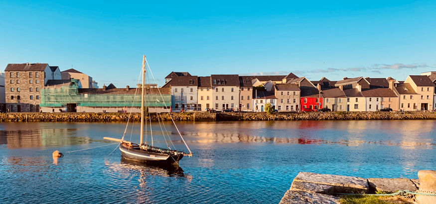 IndicatedFairy fort / ringfort · 754 yd
 Rahaly Castle (in ruins)Castle, tower house · 1311 yd
 Church (in ruins)Church · 1439 yd
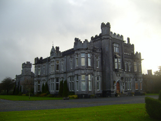 Tullira Castlecountry house · 1478 yd
 HawthornHawthorn · 1.5 mi
 European ashEuropean ash · 1.5 mi
 Ballylee CastleCastle, tower house · 1.6 mi
 Drumharsna CastleHeritage attraction · 3.1 mi
 Kilmacduagh Monastic SiteVisitor information · 7.1 mi
 Mulroney's IslandIslet · 7.4 mi
 IllananireyIslet · 8.2 mi