What is recorded here
In rough gorse and heather-covered hill grazing, in a hollow on the SE side of a NE-SW ridge. The jumbled remains of a curvilinear stone wall (T 0.6m; H 0.2m) are partially obscured by gorse and extend (L c. 40m) W from a possible hut site (KE079-113----) on to the ridge. The remains of a separate curvilinear wall (T 0.6m; H 0.5m) protrude intermittently above the surface of the bog and wind in a SE direction (L c. 35m) from the possible hut site through the marshy hollow. This wall consists mainly of slab-type stones set on the line of the wall. (O'Sullivan and Sheehan 1996, 410, no. 1338)
The above description is derived from the published 'Archaeological Inventory of County Kerry. Volume I: South-West Kerry' (Dublin: Stationery Office, 2009). In certain instances the entries have been revised and updated in the light of recent research.
Date of upload: 30 May 2011
The monument record does not grant public access. Check the route and ask the landowner before entering private land.
- What survives
- Recorded monument
Places near here
 Cathar-na-CathFairy fort / stone ringfort · 1038 yd
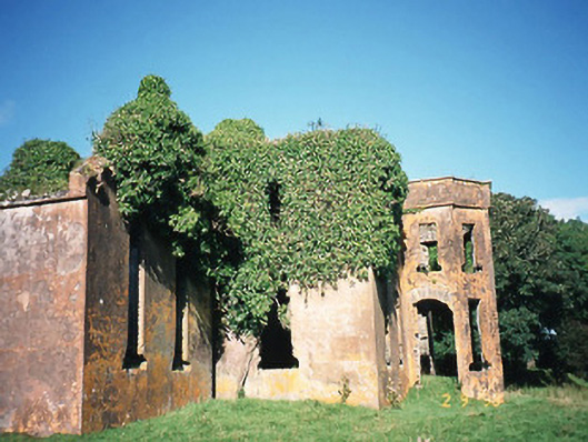 Castlequincountry house · 1042 yd
 Cahergal Ring FortArchaeological place · 1151 yd
 KilnKiln, corn-drying · 1317 yd
 Ballycarbery CastleRuins · 1.1 mi
 OutlinedBawn · 1.1 mi
 Ballycarbery Castle (in ruins)Castle, hall-house · 1.1 mi
 Foughil IslandIslet · 1.3 mi
 SlievaghMountain / peak · 1.5 mi
 White Strand BeachBeach / strand · 1.8 mi
 BenteeMountain / peak · 2.4 mi
 Beginish IslandIsland · 2.9 mi