What is recorded here
On the N side of Prospect Hill. Discovered during the excavation of a short cist (LI018-01102-) in September 1989. In the area E of the cist a series of pre-bog walls were revealed during land reclamation (see LI018-01101- & LI018-01301-; Doody 1992, 220; Doody 1993, figs 2 & 7). This, the best preserved stretch, ran in a NW-SE direction over a distance of 140m. A short section of it was excavated revealing a collapsed wall (Wth c. 4m) covered by 0.5m of peat. The wall core (Wth 1.3m; max. surviving H 0.5m) was constructed directly on an 'old ground' surface 'except where a shallow trench was dug through this, perhaps to serve as a foundation or to mark out the line of the proposed construction' (Doody 1992, 220). There is now no surface trace of this field boundary in a field of reclaimed pasture.
Compiled by: Denis Power
Date of upload: 26 August 2011
The monument record does not grant public access. Check the route and ask the landowner before entering private land.
- What survives
- Recorded monument
Places near here
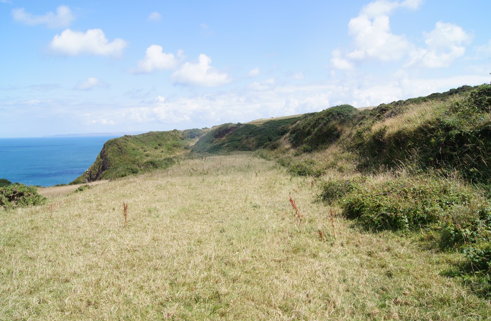 Field boundary in Killacolla (shanid By.)Field boundary · 75 yd
 Prospect HillMountain / peak · 79 yd
 Fulacht fia in Killacolla (shanid By.)Fulacht fia · 82 yd
 Church in Flean MoreChurch · 1465 yd
 IndicatedKiln, lime · 1.2 mi
 Castle (Site of)Castle, unclassified · 1.3 mi
 TobercloonaghSpring · 1.5 mi
 Loghill HoCastle, unclassified · 2.2 mi
 Mountshannon PointHeadland · 2.5 mi
 Mountshannon WoodWood · 2.5 mi
 Killanna PointHeadland · 3.0 mi
 Mountshannon EstateHeritage attraction · 3.3 mi