What is recorded here
Dunkerron, Kill, Iveragh, Kerry: A thirty-metre pre-bog wall still touches the cairn like a forgotten arm. People may have walked that edge for centuries, reading ownership or prayer in its stones before the bog swallowed the rest.
A 30m long stretch of a pre-bog wall (KE065-115001-) abuts the E side of the cairn.
The above description is derived from A. O'Sullivan and J. Sheehan (compilers), 'The Iveragh peninsula: an archaeological survey of South Kerry'. Cork University Press (1996), no. 392. In certain instances the entries have been revised and updated in the light of recent research.
Date of upload: 28 July 2013
The monument record does not grant public access. Check the route and ask the landowner before entering private land.
- What survives
- Recorded monument
Places near here
 Coolcraheen CaveMan-made underground passage · 899 yd
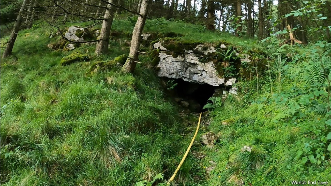 CaveMan-made underground passage · 912 yd
 KnockbrackMountain / peak · 1552 yd
 KnockroeMountain / peak · 1582 yd
 Devil's Ladder RouteWalking route · 2.0 mi
 Killoughane Church (in Ruins)Church · 2.4 mi
 CarrauntoohilMountain / peak · 2.8 mi
 Crash site of USAAF DakotaHeritage attraction · 2.9 mi
 Castle Core (in Ruins)Castle, tower house · 2.9 mi
 Knockane Churchchurch/chapel · 3.0 mi
 Ballymalis Castle (in ruins)Castle, tower house · 3.5 mi
 Japanese pagoda treeJapanese pagoda tree · 4.5 mi