What is recorded here
In rough hill pasture, on a SE-facing slope. Intermittent traces of relict stone field boundaries (T 0.2-0.6m; H 0.1-0.75m) protrude above the surface of the bog cover in a roughly rectangular area (c. 100m NNW-SSE x c. 25m ENE-WSW). The walls are generally curvilinear and feature sections where upright slabs are set end-on; some of these slabs are leaning or have fallen. Other sections consist of large stones that are mainly obscured by gorse.
The above description is derived from 'The Archaeological Inventory of County Cork. Volume 5' (Dublin: Stationery Office, 2009).
Date of upload: 22 December 2009
The monument record does not grant public access. Check the route and ask the landowner before entering private land.
- What survives
- Recorded monument
Places near here
 Hut site in GowlaneHut site · 479 yd
 Hut site in Commons East (bear By.)Hut site · 778 yd
 Beara WayWalking route · 1006 yd
 Eagle HillMountain / peak · 1.4 mi
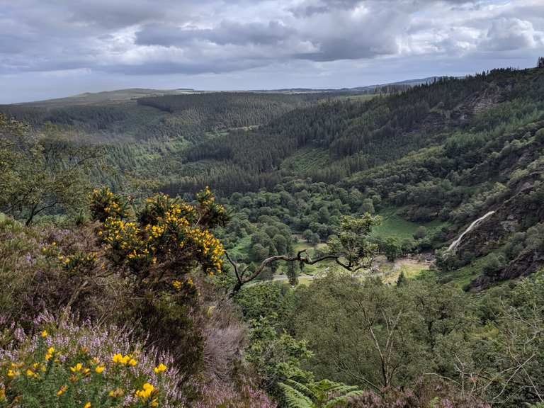 MaulinMountain / peak · 1.4 mi
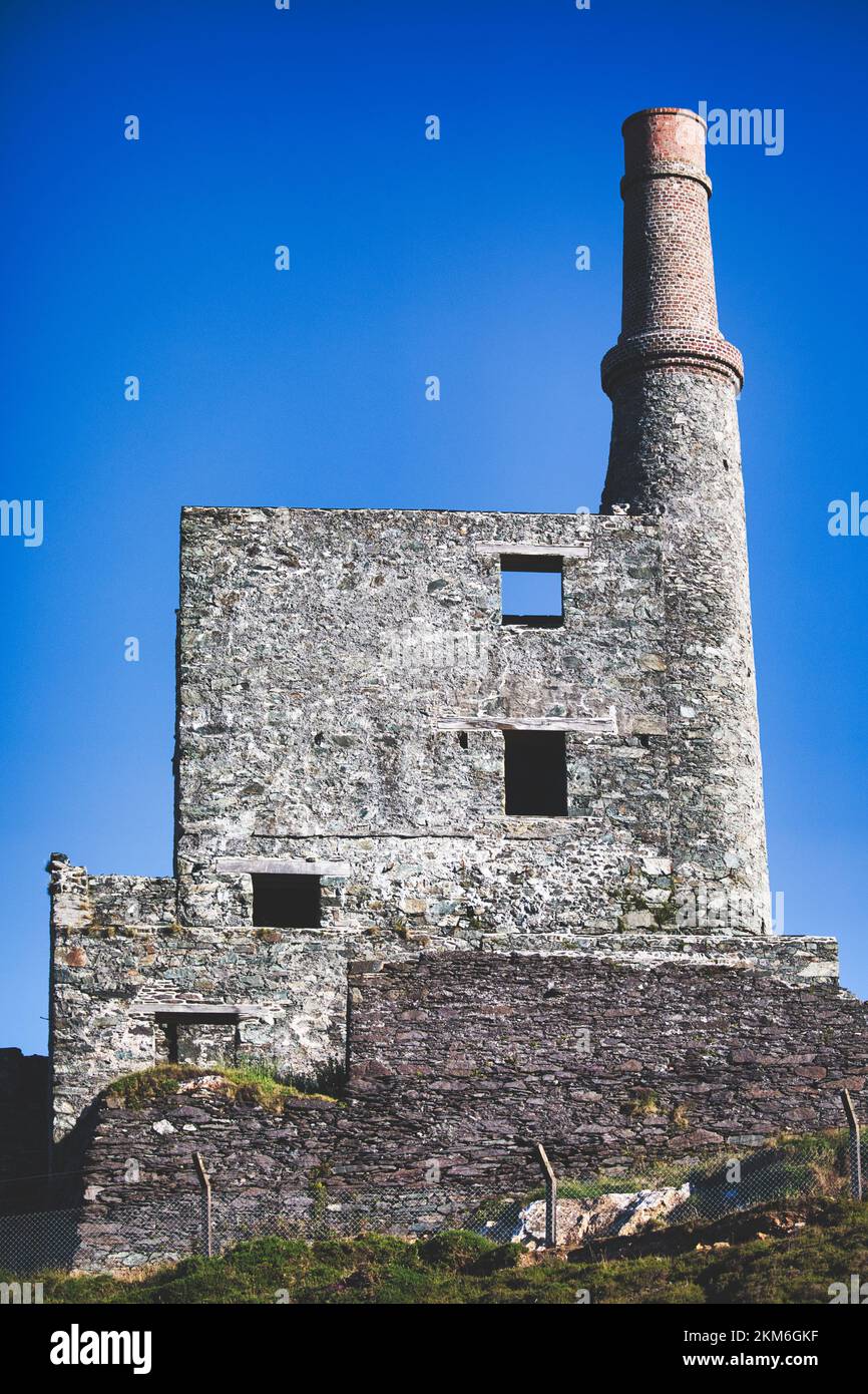 MineMine, copper · 1.6 mi
 Wild Atlantic WayVisitor information · 2.3 mi
 garda station/constabulary barracksgarda station/constabulary barracks · 2.5 mi
 Eyeries - Coastguard Station LoopWalking route · 3.0 mi
 Berehaven Battalion MemorialMemorial · 3.1 mi
 CarrigleamoreIslet · 3.1 mi
 Sarah Walker GalleryGallery · 3.2 mi