What is recorded here
Lough Cruttia holds back water on a rounded lip where erosion and turf cutting have revealed long straight walls buried beneath peat. The boundaries stretch up to one hundred metres across the crest and flank, larger than the known system on the valley floor. One wall still shows its foundation on pre-peat ground after a drain cut through it recently. People may have lived among those fields before the bog swallowed them, but the peat keeps most of their shape hidden.
About two-thirds of a mile (1km) to NW of KE034-139----, on the crest and NE flank of the rounded lip which impounds Lough Cruttia, on the NW slopes of the Owenmore valley, a combination of natural erosion and turf cutting has exposed a complex of pre-bog walls; it was not feasible on this occasion to determine the exact extent and layout of the system but it is apparently more extensive than that on the valley floor (KE034-139----). The peat is a maximum of 1.3 to 1.5m deep and, in general, the walls are only intermittently traceable where the tops of the walls protrude above the surface. A cursory inspection indicated that the system consists of long stretches of reasonably straight walls up to 100m in length. One wall has been recently cut through by a drain and it can be seen to be constructed on the pre-peat ground surface.
The above description is derived from J. Cuppage, ‘Corca Dhuibhne. Dingle Peninsula archaeological survey. Ballyferriter. Oidhreacht Chorca Dhuibhne’ (1986), no. 28. In certain instances the entries have been revised and updated in the light of recent research.
Date of upload: 3 August 2013
The monument record does not grant public access. Check the route and ask the landowner before entering private land.
- What survives
- Recorded monument
Places near here
 Enclosure in Gleann SeanchoirpEnclosure · 405 yd
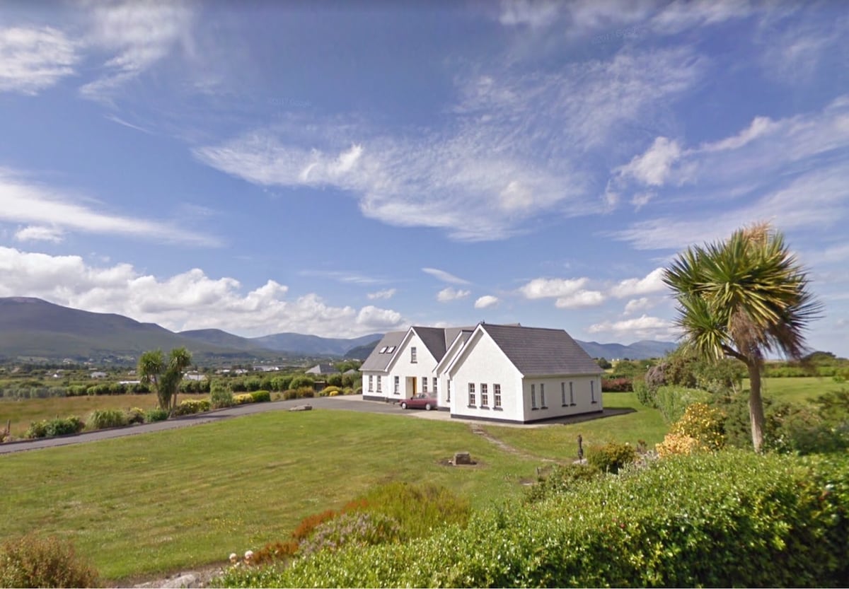 Hut site in Gleann SeanchoirpHut site · 611 yd
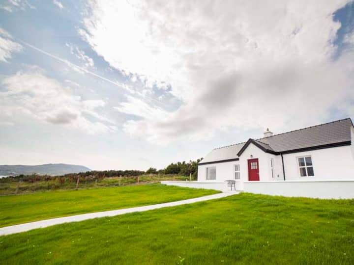 Barr an GhéaráinMountain / peak · 1.0 mi
 An GéaránMountain / peak · 1.3 mi
 World War II plane crash site: Engine of Focke-Wulf Fw 200 CondorHeritage attraction · 1.6 mi
 Séipéal Bhréanainn [Saint Brendan's Catholic Church]church/chapel · 1.7 mi
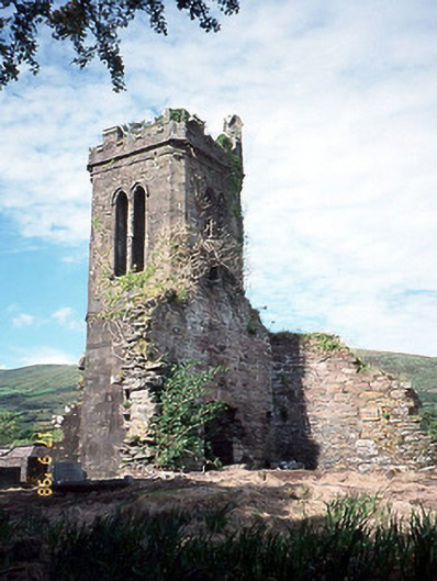 Séipéal an Clochán [Cloghane Church]church/chapel · 1.8 mi
 CarrignawaddraNamed rock · 2.1 mi
 An ChonairViewpoint · 2.3 mi
 Maughanablagher CliffsCliff · 2.4 mi
 Drom BeachBeach / strand · 3.0 mi
 An CheapaighBeach / strand · 3.2 mi