What is recorded here
For descriptive account see O'Sullivan and Sheehan (1996, 28, no. 50, '…group of pre-bog walls…on both sides of the river…').
The above description is derived from the published 'Archaeological Inventory of County Kerry. Volume I: South-West Kerry' (Dublin: Stationery Office, 2009). In certain instances the entries have been revised and updated in the light of recent research.
Date of upload: 30 May 2011
The monument record does not grant public access. Check the route and ask the landowner before entering private land.
- What survives
- Recorded monument
Places near here
 Holy well in Shannera UpperHoly well · 1.3 mi
 ListoorleaFairy fort / earthen ringfort · 1.8 mi
 KnockbrackMountain / peak · 2.0 mi
 Cnoc ÍochtairMountain / peak · 2.6 mi
 Caragh Lodgehouse · 3.3 mi
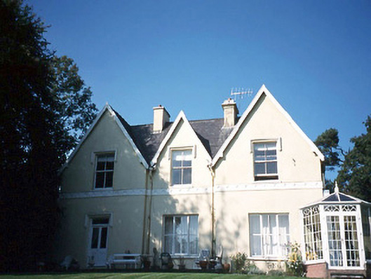 Glendalough Househouse · 3.5 mi
 CarrauntoohilMountain / peak · 3.9 mi
 CastleCastle, tower house · 3.9 mi
 King Puck statueMemorial · 3.9 mi
 Devil's Ladder RouteWalking route · 3.9 mi
 Kerry Bog VillageHeritage attraction · 4.4 mi
 Ballymalis Castle (in ruins)Castle, tower house · 4.6 mi