What is recorded here
In a rough hill pasture terrace, on an E-facing slope, overlooking Glanarough, Blackball Head and the mouth of Bantry Bay. Two stones, which stand 0.4m apart and are aligned E-W, form part of a relict field boundary which extends in an E-W direction for a distance of c. 50m. The W stone (H 1m; 0.8m x 0.35m) leans to the S and the E stone (H 0.9m; 0.8m x 0.3m) is upright. The relict boundary may have been exposed when turf was cut in this area in the past.
The above description is derived from 'The Archaeological Inventory of County Cork. Volume 5' (Dublin: Stationery Office, 2009).
Date of upload: 22 December 2009
The monument record does not grant public access. Check the route and ask the landowner before entering private land.
- What survives
- Recorded monument
Places near here
 Mass-rock in GlanaroughMass-rock · 442 yd
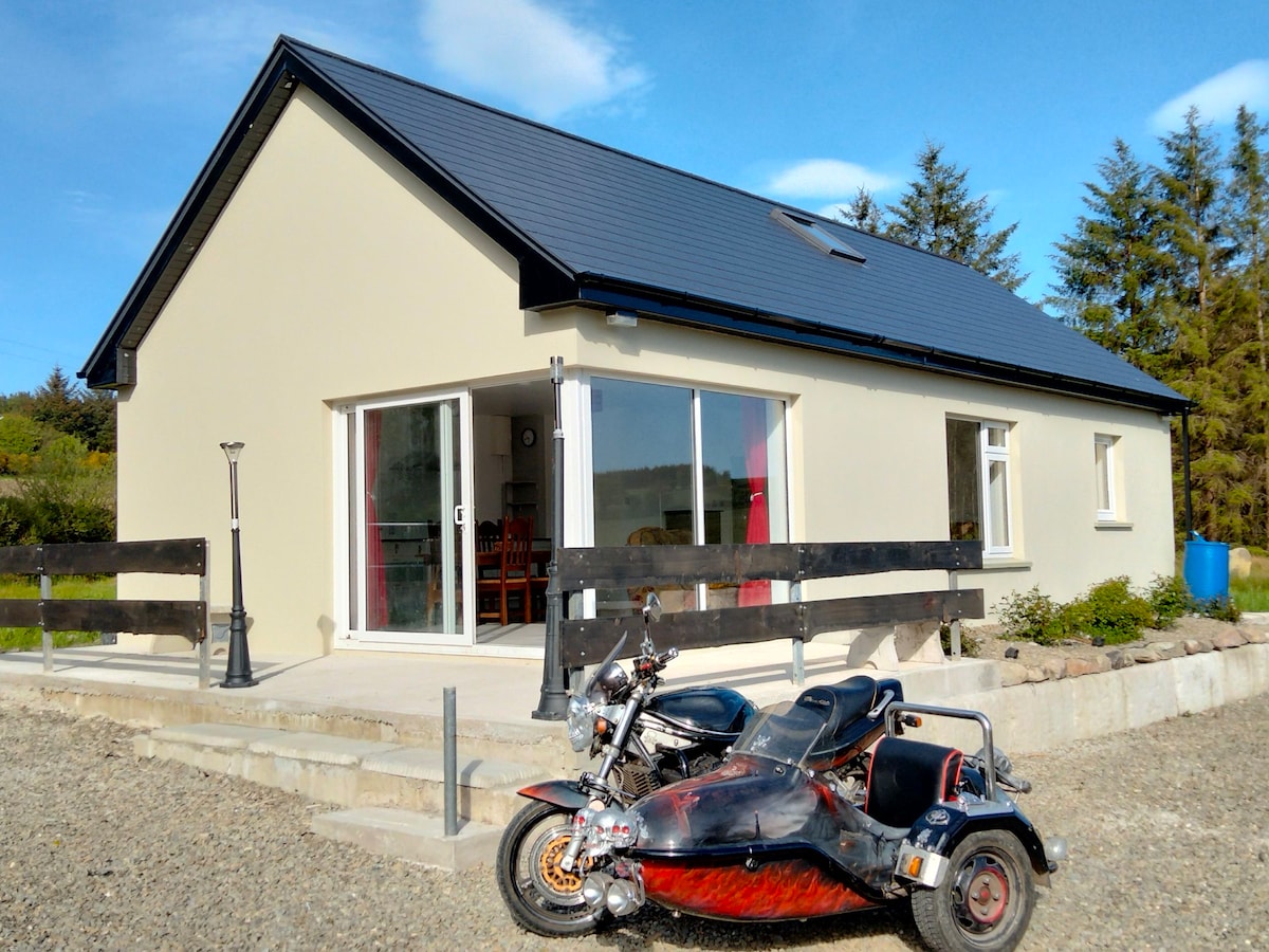 Hut site in Ballynacarriga (bear By.)Hut site · 515 yd
 Garnish StrandBeach / strand · 1307 yd
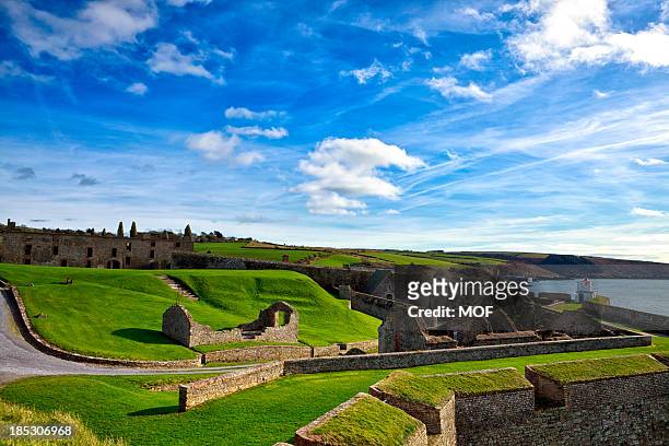 TranaduileasgBeach / strand · 1499 yd
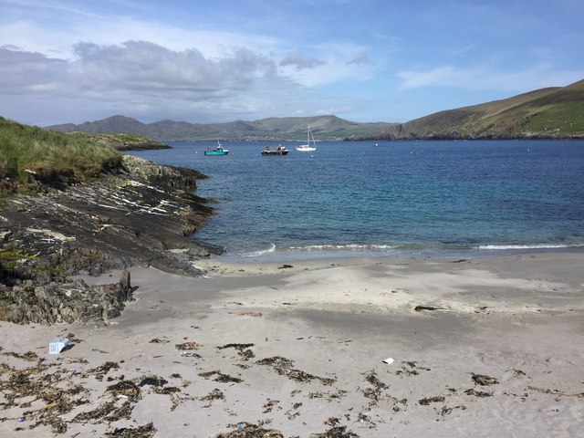 White StrandBeach / strand · 1.0 mi
 Long IslandIslet · 1.2 mi
 Signal Station FlagstaffRuins · 1.2 mi
 Little IslandIslet · 1.3 mi
 Dursey Cable CarHeritage attraction · 1.3 mi
 LackacroghanMountain / peak · 1.3 mi
 Chapel (in Ruins)Church · 1.3 mi
 Fort (in Ruins)Castle, unclassified · 1.3 mi