What is recorded here
In rough hill pasture and cutaway bog, on a rocky W-facing slope. The remains of a field wall (T 0.5m; H 0.4m) extend (L c. 140m) N-S across the hillside. The wall has collapsed and base stones protrude above the surface of the bog. Stones are scattered on the exterior downslope. Several turf stands, which comprise stone bases for turf ricks, are visible in this area.
The above description is derived from the published 'Archaeological Inventory of County Kerry. Volume I: South-West Kerry' (Dublin: Stationery Office, 2009). In certain instances the entries have been revised and updated in the light of recent research.
Date of upload: 30 May 2011
The monument record does not grant public access. Check the route and ask the landowner before entering private land.
- What survives
- Recorded monument
Places near here
 IndicatedFairy fort / earthen ringfort · 347 yd
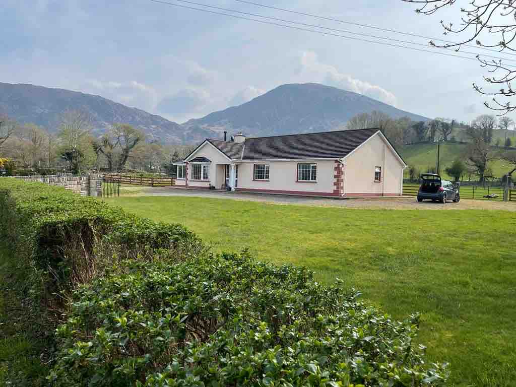 Hut site in Drombohilly LowerHut site · 420 yd
 Ardea Br.Bridge · 1.1 mi
 DrombohillyMountain / peak · 1.3 mi
 DispensaryBuilding · 1.3 mi
 Ormond's IslandIslet · 1.9 mi
 KnockateeMountain / peak · 1.9 mi
 Uragh Wood Nature ReserveNature reserve · 2.3 mi
 Uragh WoodForest · 2.3 mi
 DroppaCliff · 3.1 mi
 Rossmore IslandIsland · 3.1 mi
 Lackeen PointHeadland · 3.4 mi