What is recorded here
Described by Quinn and Carroll (2010) as ‘located in pasture and maybe associated with walls 53-57 given their orientation and proximity to each other. Consists of 2 walls perpendicular to each other orientated N/S and E/W respectively. Largely collapsed and overgrown with grass and furze. Length (N/S wall) 12m, Width 1.5m, Height 0.25m Length (E/W wall). Both consist of randomly constructed wall with no apparent construction method.'
Quinn, A and Carroll, M (2010) ‘Archaeological, Architectural and Cultural Heritage Assessment for a Proposed Wind Farm at Doonens Co. Cork’, Unpublished report, Tobar Archaeological Services.
Compiled by: Denis Power
Date of upload: 26 August 2013
The monument record does not grant public access. Check the route and ask the landowner before entering private land.
- What survives
- Recorded monument
Places near here
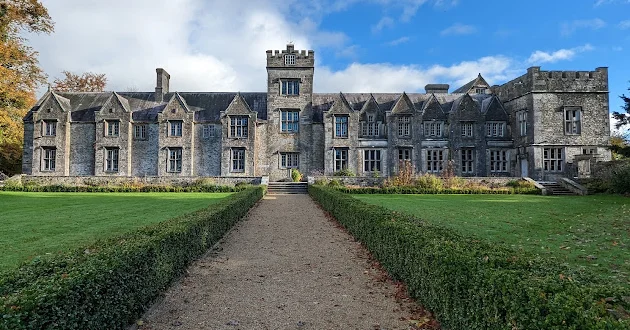 Enclosure in Dooneens (muskerry West By., Inchigeelagh Par.)Enclosure · 95 yd
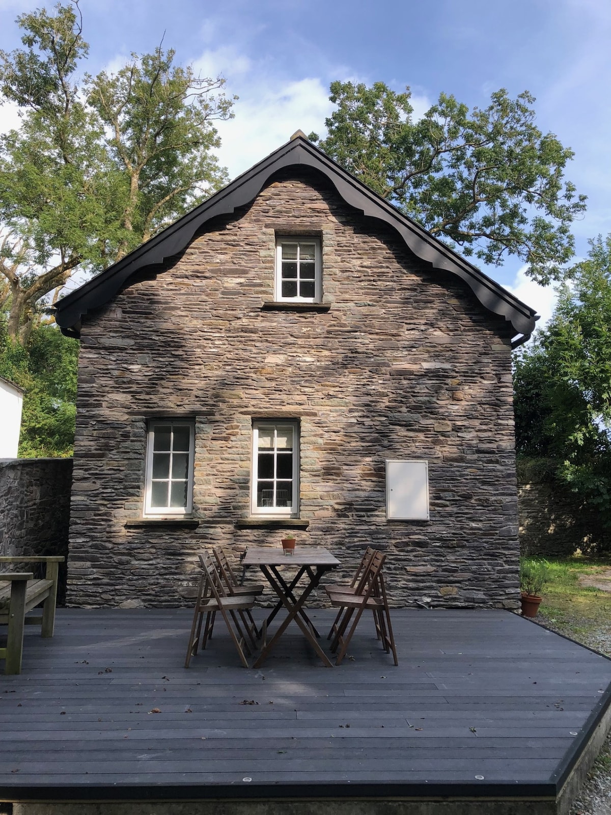 Hut site in Doire Mhic CoirnínHut site · 373 yd
 Doughill MountainMountain / peak · 1.3 mi
 Douce MountainMountain / peak · 1.5 mi
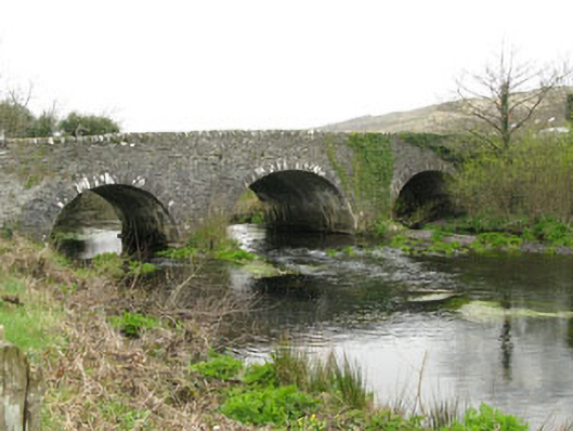 Inchinossig Bridgebridge · 2.0 mi
 Stepping StonesClapper bridge · 2.1 mi
 Gougane BarraValley and heritage place · 2.8 mi
 European ashEuropean ash · 2.9 mi
 Gortnahoughtee Mass RockNamed rock · 4.3 mi
 St Finbarr's Pilgrim RouteWalking route · 5.2 mi
 Togher CastleCastle, tower house · 5.6 mi
 Sli Gaeltacht MuscraiWalking route · 6.1 mi