What is recorded here
Situated on a grass and heather-covered plateau with a SE-NW stream c. 300m to the SW and a SE-NW stream c. 450m to the NE. This is a curving field wall comprising a stone spread (Wth 2-4m) with some evidence of facing-stones (L c. 120m). The wall curves to the S at either end but does not form more than half a complete enclosure. Two entrances/gaps are visible (Wth 2m and 3m) in the wall and it is partly overlaid by a booley hut (WA006-060002-) visible as a rectangular area (dims. 8.6m x 3.4m) defined by a stone spread. There is a cairn (WA006-060003-) (diam. 4-4.3m; H 0.3-0.5m) of loose stones (diam. c. 0.3m) at the S end of the curving field boundary. There are faint traces of a hut-site (WA006-060004-) visible as a grass-covered area (ext. diam. 8.3-8.5m; int. diam. 6.7-6.8m) defined by a stone spread that can be felt underfoot, which is at the centre of the curve created by the field boundary.
The above description is derived from the published 'Archaeological Inventory of County Waterford' (Dublin: Stationery Office, 1999). In certain instances the entries have been revised and updated in the light of recent research.
Date of upload/revision: 20 July 2010
The monument record does not grant public access. Check the route and ask the landowner before entering private land.
- What survives
- Recorded monument
Places near here
 Booley hut in Curraghduff (upperthird By., Rathgormuck Par.)Booley hut · 42 yd
 CairnCairn, unclassified · 85 yd
 Siglloges LoopWalking route · 887 yd
 Coumlara LoopWalking route · 1580 yd
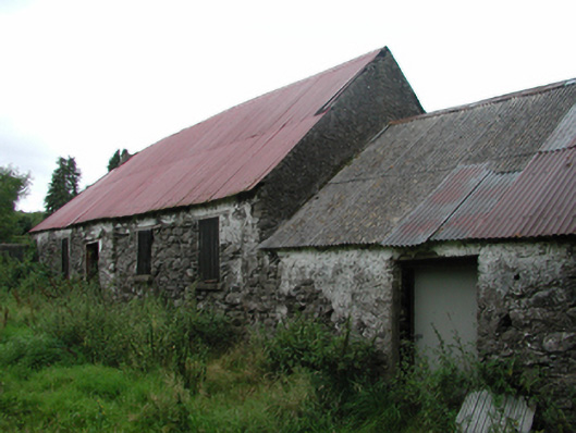 Nell's Cottagefarm house · 1624 yd
 Coumfea North TopMountain / peak · 1.2 mi
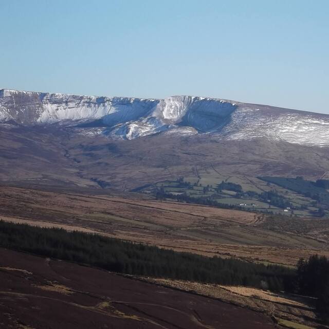 Coumfea West TopMountain / peak · 1.4 mi
 CillChurch · 1.6 mi
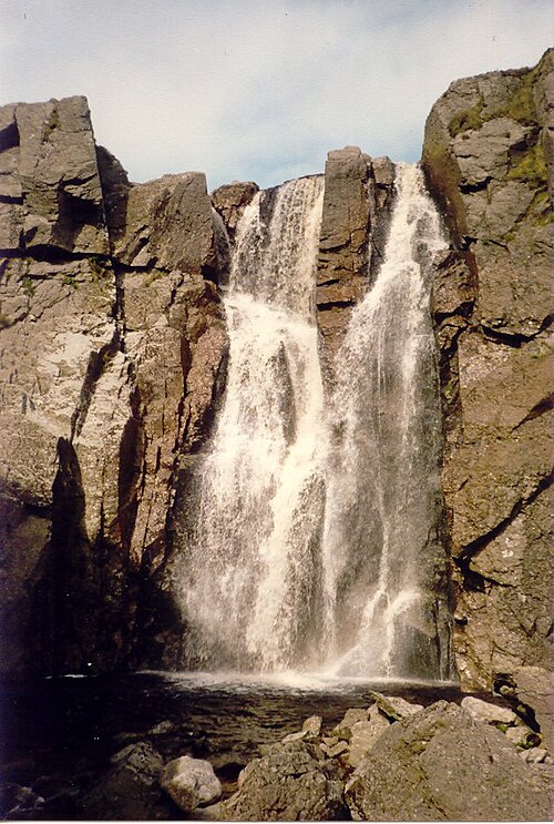 Mahon FallsWaterfall · 2.4 mi
 Mahon ValleyCliff · 2.6 mi
 Curraheen TrailsVisitor information · 2.7 mi
 Knocknaree WoodForest · 2.8 mi