
What is recorded here
Half a metre above the black bog, the stones still hold their line beside the Barony River, marking fields that stopped belonging to anyone long before the trees arrived. They sit north of the wedge tomb like a forgotten address, waiting for a hand that knows which way the gate opened. The forest has swallowed the path, but the boundary remains clear enough to tempt a person into walking the old shape and discovering what the land still remembers.
In a coniferous forest, on a W-facing slope on the E side of the valley of the Barony River. A network of relict stone field boundaries (T 0.5m; H 0.3m) was recorded in this area in May 1992, prior to the planting of trees. The field boundaries were defined by a series of stones that protruded above the surface of the bog in the general area to the N of a wedge tomb (CO091-014003-). The area is now inaccessible due to dense undergrowth.
The above description is derived from 'The Archaeological Inventory of County Cork. Volume 5' (Dublin: Stationery Office, 2009).
Date of upload: 22 December 2009
The monument record does not grant public access. Check the route and ask the landowner before entering private land.
- What survives
- Recorded monument
Places near here
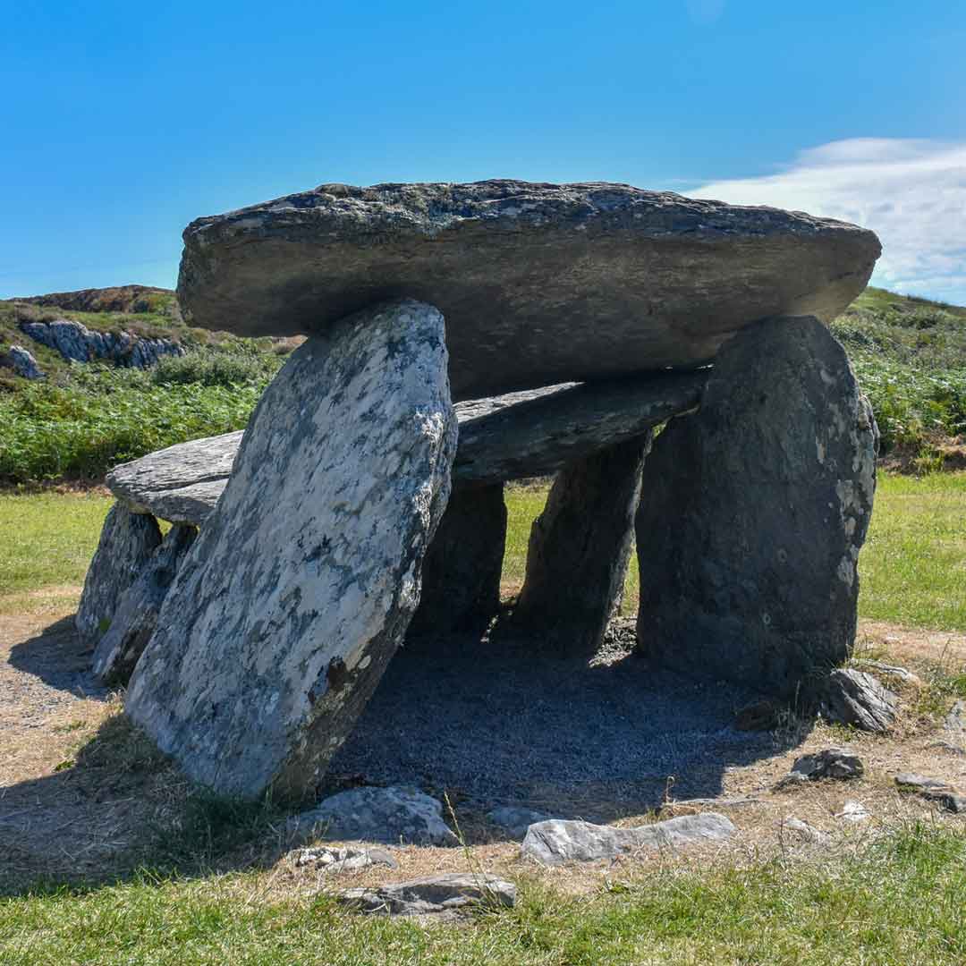 Wedge tomb in CoumaclavligWedge tomb · 33 yd
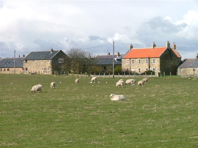 Hut site in DerroograneHut site · 804 yd
 The Priest's LeapMountain / peak · 1.5 mi
 An Cab DubhMountain / peak · 1.5 mi
 The Priests LeapViewpoint · 2.0 mi
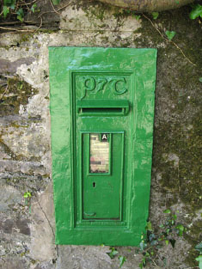 post boxpost box · 2.0 mi
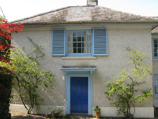 Toad Hallhouse · 2.0 mi
 Tasmanian bluegumTasmanian bluegum · 2.1 mi
 Calf IslandIslet · 2.2 mi
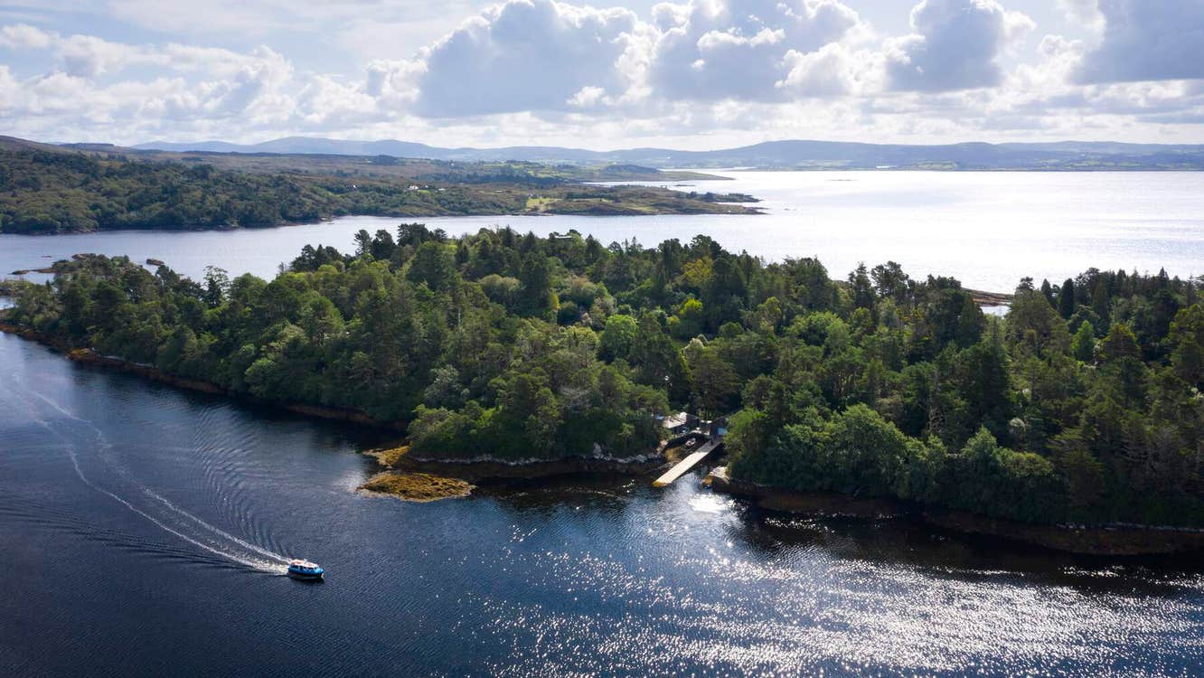 Garranboy IslandIslet · 2.2 mi
 Coomhola Salmon Trust (Streamscapes)Museum · 2.4 mi
 The Blue PoolHeritage attraction · 2.6 mi
Other information
Photo: Credit not shown in the picture search · Rights wording not checked; contact us if this picture should be removed