What is recorded here
One chamber holds a shadow, the other faces the living road. The forest came later, in 1991, but the stones still point toward Glengarriff Harbour and the place beside them suggests a whole village forgot itself under moss.
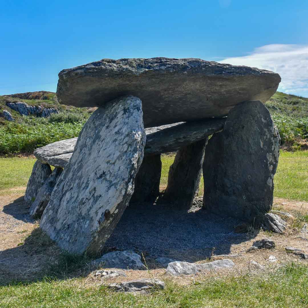
Within a coniferous forest (planted 1991) on the W-facing slope of the upper reaches of the Barony River valley with views to the SE and S along the valley to Glengarriff Harbour. The remains consist of a gallery (L 3.7m; Wth 0.8m), aligned E-W, divided into two almost equal chambers by a transversely set slab placed about midway along its length. The E chamber (L. 1.7m) is represented by a backstone and a thin slab which formed the E component of the S side; there is no surviving N side. The W chamber (L 1.7m) is open to the W and has single sidestones to the N and S. An almost recumbent slab, set transversely c. 1.2m in front of the W of this chamber, may be interpreted as a possible septal-stone. A number of overlapping, inclined and prostrate slabs immediately S of the gallery might represent outer-walling. The W chamber is almost completely covered by a roofstone (2m x 1.2m; T 0.15m) and a second roofstone lies in the E chamber (1.4m x at least 1.2m exposed; T 0.2m). There is a substantial stone (L 1.85m x 0.40m; H 0.85m) standing upright c. 4m N of the tomb; its relationship to the monument is unclear. An enclosure (CO091-014002-) is located 62m to the N and there are remains of pre-bog walls (CO091-014001-) 140m to the NE. Another wedge tomb (CO091-013----) is located c. 900m to the NE and a third (CO091-010007-) is visible across the valley 1.3km to the NW.
The above description is derived from 'The Archaeological Inventory of County Cork. Volume 5' (Dublin: Stationery Office, 2009).
Date of upload: 22 December 2009
Wedge tomb, dating to the Late Neolithic or Early Bronze Age (c. 2500–1000 BCE). Its location within a river valley suggests it may have been part of a broader ritual or funerary landscape associated with early farming communities in the region.
The monument record does not grant public access. Check the route and ask the landowner before entering private land.
- What survives
- Recorded monument
Places near here
 Field boundary in CoumaclavligField boundary · 33 yd
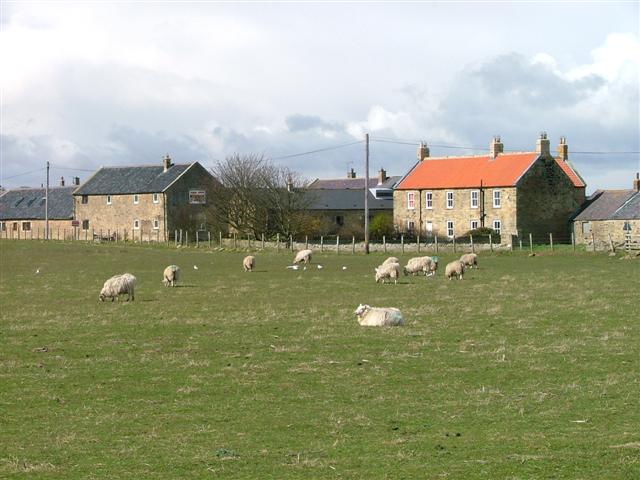 Hut site in DerroograneHut site · 807 yd
 The Priest's LeapMountain / peak · 1.5 mi
 An Cab DubhMountain / peak · 1.5 mi
 The Priests LeapViewpoint · 2.0 mi
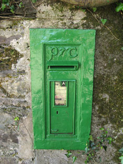 post boxpost box · 2.0 mi
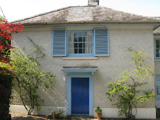 Toad Hallhouse · 2.0 mi
 Tasmanian bluegumTasmanian bluegum · 2.1 mi
 Calf IslandIslet · 2.2 mi
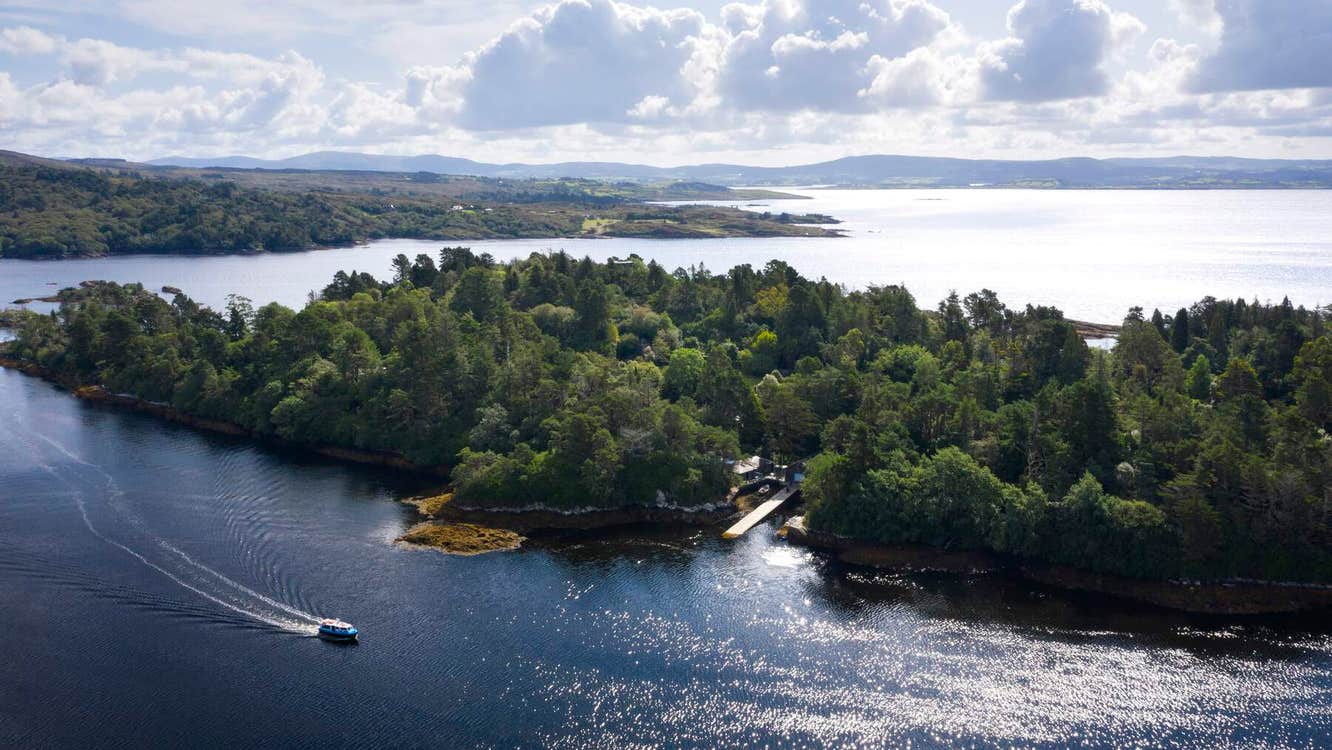 Garranboy IslandIslet · 2.2 mi
 Coomhola Salmon Trust (Streamscapes)Museum · 2.4 mi
 The Blue PoolHeritage attraction · 2.6 mi
Other information
Photo: Credit not shown in the picture search · Rights wording not checked; contact us if this picture should be removed