
What is recorded here
A short length of relict field boundary (orientation SSW-NNE) visible for a distance of c. 20m was exposed by turf cutting. Only a single row of natural rocks are visible above the level of the existing bog surface. A boulder (KE071-113----) decorated with rock art lies a short distance to WNW and two other stones (KE071-059----/058----) decorated with rock art lie to E and ESE respectively.
Compiled by: Matt Kelleher based on details provided by Tony Miller
Date of upload: 07 June 2019
The monument record does not grant public access. Check the route and ask the landowner before entering private land.
- What survives
- Recorded monument
Places near here
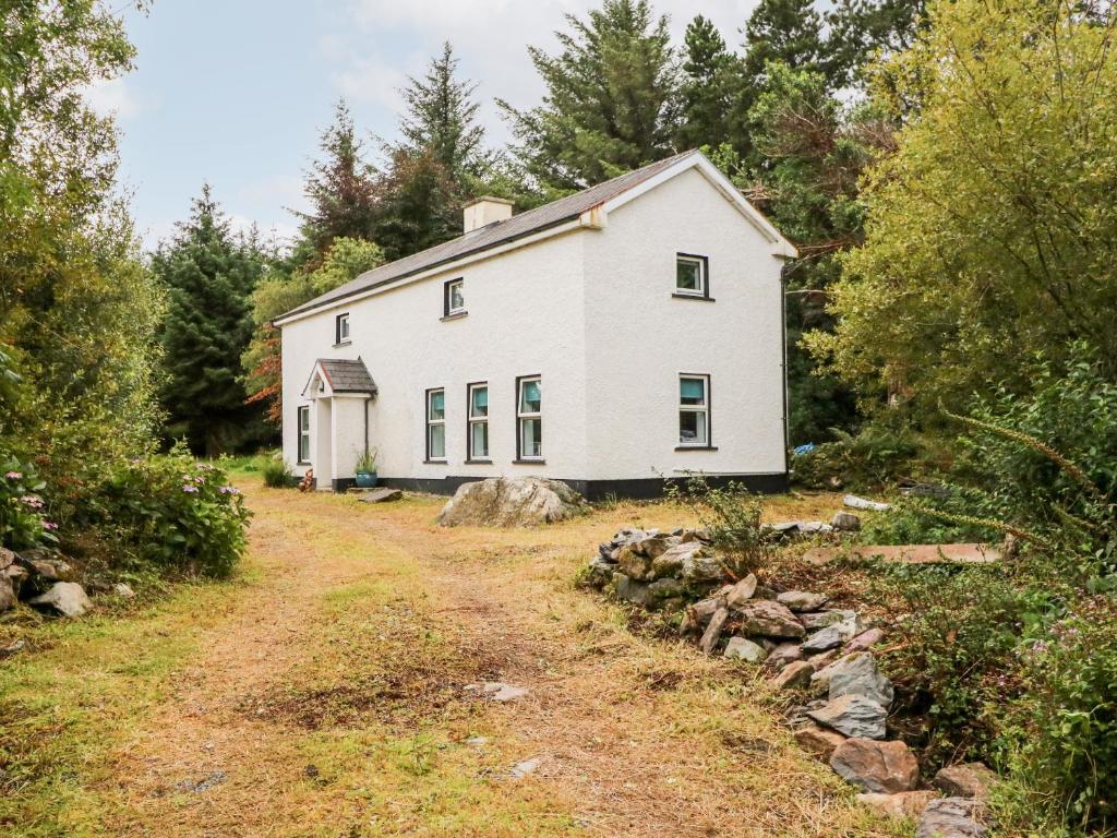 Enclosure in Kealduff UpperEnclosure · 555 yd
 Man-made underground passage in CoomasaharnMan-made underground passage · 712 yd
 Teeromoyle ToothMountain / peak · 1.7 mi
 BeenreaghMountain / peak · 1.8 mi
 Mountain StageViewpoint · 2.6 mi
 R.C. Chapel (in Ruins)Church · 3.0 mi
 Gowlane R.C. Chapel (in Ruins)Church · 3.3 mi
 FeaklecallyHeadland · 3.5 mi
 Sheep Dog TrainingHeritage attraction · 4.0 mi
 Rossbeigh BeachBeach / strand · 4.1 mi
 Soft Tree-fernSoft Tree-fern · 4.7 mi
 Chilean wine palmChilean wine palm · 4.7 mi
Other information
Photo: Credit not shown in the picture search · Rights wording not checked; contact us if this picture should be removed