What is recorded here
In pasture, located on the SW-facing slope on a ridge.
Shown on the 1916 OS 6-inch map as a field boundary describing a shallow arc SW–NE, intersecting at E with a N–S linear field boundary, and at SW end with a straight field boundary that extends to W.
The arc of wall is extant. It consists of a ruined drystone wall reduced to wall footings (Wth 0.9m; H 0.2m) with heaps of loose field stones on top. At NE end it ends at the extant N-S field wall. Ground slopes down towards another short isolated arc of sod-covered wall footings located c. 40m to SE. The walls appear to respect natural contours. They may have enclosed a roughly D-shaped area (c. 70m NE–SW; c. 50m NW–SE), curving SE–NE, bordered now on the straight E side by the extant N–S field wall –but this is very uncertain. They may predate the current grid of N-S/E-W rectangular fields, but nevertheless, appear to be of relatively recent date.
Compiled by: Jane O’Shaughnessy
Date of upload: 22 December 2021
The monument record does not grant public access. Check the route and ask the landowner before entering private land.
- What survives
- Recorded monument
Places near here
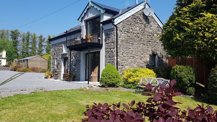 Enclosure in Carrowbaun (costello By.)Enclosure · 84 yd
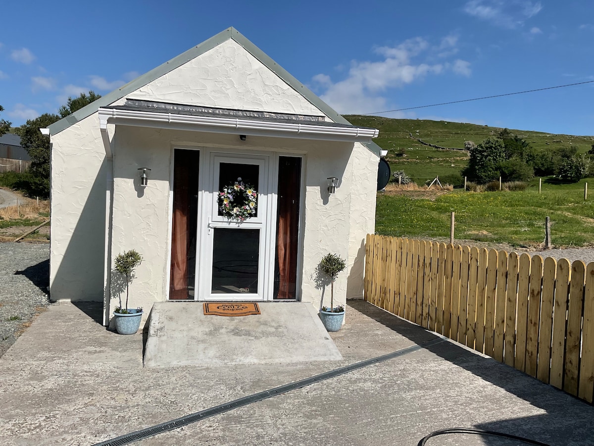 IndicatedFairy fort / stone ringfort · 167 yd
 Rath Castle in ruinsCastle, tower house · 1018 yd
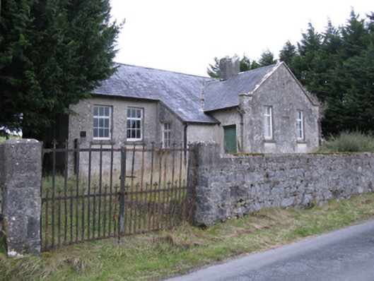 Saint Patrick's National Schoolschool · 1.0 mi
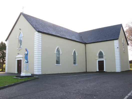 Saint Joseph's Catholic Churchchurch/chapel · 1.2 mi
 CastleCastle, unclassified · 2.3 mi
 East Mayo Brigade MonumentMemorial · 2.5 mi
 Knock ShrineHeritage attraction · 5.7 mi
 Knock MuseumMuseum · 5.7 mi
 I'll Send You The FareMemorial · 7.9 mi
 Thorn CaveCave · 8.1 mi
 Bawn IslandIslet · 16 mi