What is recorded here
In boggy hill pasture, on a S-facing slope, overlooking the valley of the Glanmore River. A network of relict field walls (T 0.7m; H 0.8m) covers an area c. 350m NW-SE by c. 750m SW-NE. The large lower course stones of the field walls protrude above the bog. In general the walls are in a collapsed state with rubble scattered downslope. The walls meander throughout the area, forming no apparent pattern. There are some straight stretches also visible but these are not continuous. More recent, regular field walls also occur in this area. There are four hut sites (KE111-025005-, KE111-025006-, KE111-025007-, KE111-025008-) within this network of relict walls.
The above description is derived from the published 'Archaeological Inventory of County Kerry. Volume I: South-West Kerry' (Dublin: Stationery Office, 2009). In certain instances the entries have been revised and updated in the light of recent research.
Date of upload: 30 May 2011
The monument record does not grant public access. Check the route and ask the landowner before entering private land.
- What survives
- Recorded monument
Places near here
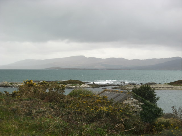 Hut site in CanagullenHut site · 347 yd
 Enclosure in CanagullenEnclosure · 426 yd
 CurraghreagueMountain / peak · 1004 yd
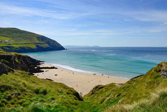 FoilecanomMountain / peak · 1277 yd
 IllaunateeIslet · 1743 yd
 Crane IslandIslet · 1.0 mi
 Ahadav Br.Bridge · 1.5 mi
 Clogherane Br.Bridge · 1.7 mi
 Mare's Tail WaterfallViewpoint · 2.6 mi
 New Zealand broadleafNew Zealand broadleaf · 2.9 mi
 Japanese cedarJapanese cedar · 2.9 mi
 West Cork Sailing & Powerboating CentreHeritage attraction · 4.4 mi