What is recorded here
'A number of straight earthen banks running in all directions, which were first identified from aerial photography. The banks vary in length from circa 230m to 46m. Some of the larger examples can be seen, intermittently, at ground level where they are on average 0.30m high and 3-4m in width.'
Compiled by Michael Connolly for the Archaeological Survey of Ireland as part of a survey of the Lee Valley area in 1996-97.
Date of upload: 03 May 2012
The monument record does not grant public access. Check the route and ask the landowner before entering private land.
- What survives
- Recorded monument
Places near here
 European YewEuropean Yew · 376 yd
 Enclosure in BallyseedyEnclosure · 422 yd
 Megalithic structure in Camp (trughanacmy By., Ballyseedy Ed)Megalithic structure · 680 yd
 Ballyseedy WoodWood · 1171 yd
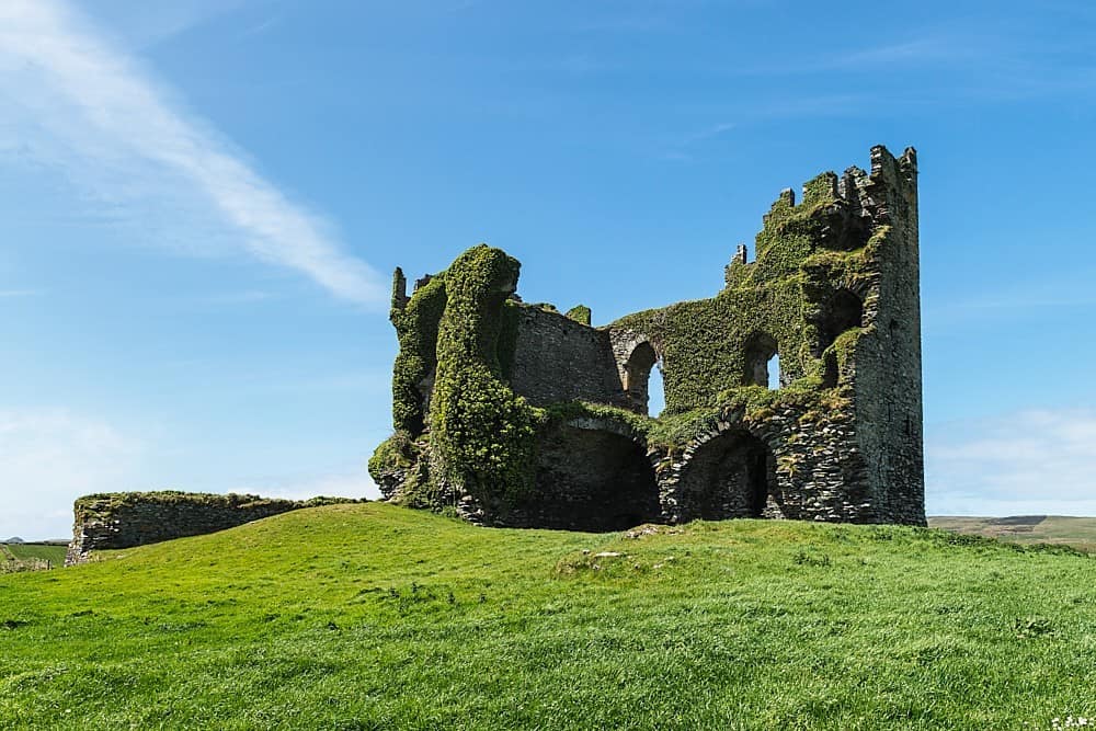 CastleCastle, unclassified · 1732 yd
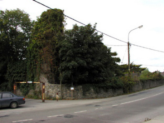 Castlemorriscastle/fortified house · 1.0 mi
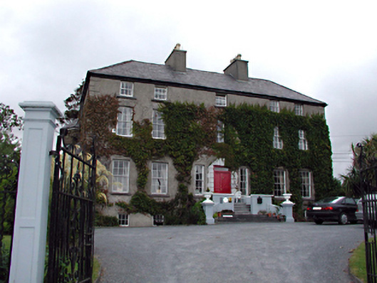 Castlemorris Househouse · 1.0 mi
 Civil War MemorialMemorial · 1.3 mi
 IndicatedCastle, unclassified · 1.6 mi
 Kerry County MuseumMuseum · 1.8 mi
 Sonny McCarthy MemorialMonument · 1.8 mi
 John Hurley GalleryGallery · 1.9 mi