What is recorded here
On the NE slopes of Coad, immediately N of Behaghane river, in rough scree-strewn pasture. Built into the slope, an almost square drystone hut with an inner facing of uprights and slabs set on edge. Exterior wall-face is sod-covered.
There is much stone collapse externally at SE, and some old field walls occur in the near vicinity. A small rectangular structure built against a natural rock-face, possibly an animal shelter, occurs a short distance to S.
The above description is derived from A. O'Sullivan and J. Sheehan (compilers), 'The Iveragh peninsula: an archaeological survey of South Kerry'. Cork University Press (1996), no. 1133. In certain instances the entries have been revised and updated in the light of recent research.
Date of upload: 31 July 2013
The monument record does not grant public access. Check the route and ask the landowner before entering private land.
- What survives
- Recorded monument
Places near here
 Copper Mines (Disused)Mine, copper · 322 yd
 MineMine, copper · 381 yd
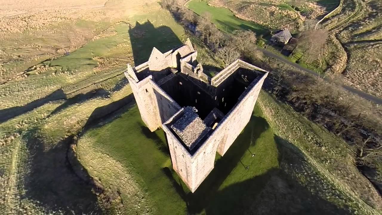 St. Crohanes HermitageHermitage · 387 yd
 Old TreeRitual site, holy tree/bush · 653 yd
 Eagles HillMountain / peak · 1.1 mi
 Castle Cove (in Ruins)Castle, tower house · 1.3 mi
 Cnoc na StéigeMountain / peak · 1.6 mi
 Reen BeachBeach / strand · 1.7 mi
 Trá an Ghleanna Bhig / Glanbeg BeachBeach / strand · 2.1 mi
 2Cliff · 2.7 mi
 An PlaoscHeadland · 2.9 mi
 Ogham StoneVisitor information · 3.0 mi