What is recorded here
Ballycotteen North holds a curving thirty-metre wall beside a wedge tomb and possible enclosure, suggesting an old field system rather than a random boundary. The wall still bends across the land, marking where people once separated life, death and memory. It may have guided livestock, defined ownership or shaped a ceremonial landscape, but its exact purpose has faded. What remains is a line drawn in stone, still visible and still waiting to be understood.
A slightly curving stretch of wall (L 30m) is visible on OSi MapGenie (2012-2018) orthophotos. It is indicated also as a curving wall on the OS 25-inch map. It may be part of a field system. A wedge tomb (CL015-001----) lies c. 55m to the ENE and a possible enclosure (CL015-154----) lies c. 40m to the SE.
Compiled by: Mary Tunney
Date of upload: 15 March 2023
The monument record does not grant public access. Check the route and ask the landowner before entering private land.
- What survives
- Recorded monument
Places near here
 Enclosure in Ballycotteen NorthEnclosure · 49 yd
 Doolin Cliff WalkWalking route · 1308 yd
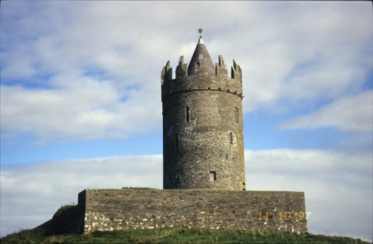 Doonnagore Castlecastle/fortified house · 1.3 mi
 Doonagore Castle in ruinsCastle, tower house · 1.3 mi
 CaherEnclosure · 1.4 mi
 Cliffs of Moher Visitor CentreVisitor information · 1.6 mi
 O'Brien's Towerfolly · 1.8 mi
 Sea StackMountain / peak · 1.8 mi
 Doonmacfelim Castle (in Ruins)Castle, tower house · 2.1 mi
 Ballaghaline PointHeadland · 2.1 mi
 Fisherstreet PotCave · 2.1 mi
 Doolin FerriesHeritage attraction · 2.1 mi