What is recorded here
In a low-lying bog on S side of a glacial ridge. Visible in the cutaway are traces of a curving wall (L 16m) covered by a maximum of 1.2m of peat. It is built of granite and schist boulders on the mineral soil but it appears to extend on to the peat at SW end. Traces of a pre-bog earthen bank noted nearby.
The above description is derived from the published 'Archaeological Inventory of County Galway Vol. I - West Galway'. Compiled by Paul Gosling (Dublin: Stationery Office, 1993).
Date of upload: 05 August 2010
The monument record does not grant public access. Check the route and ask the landowner before entering private land.
- What survives
- Recorded monument
Places near here
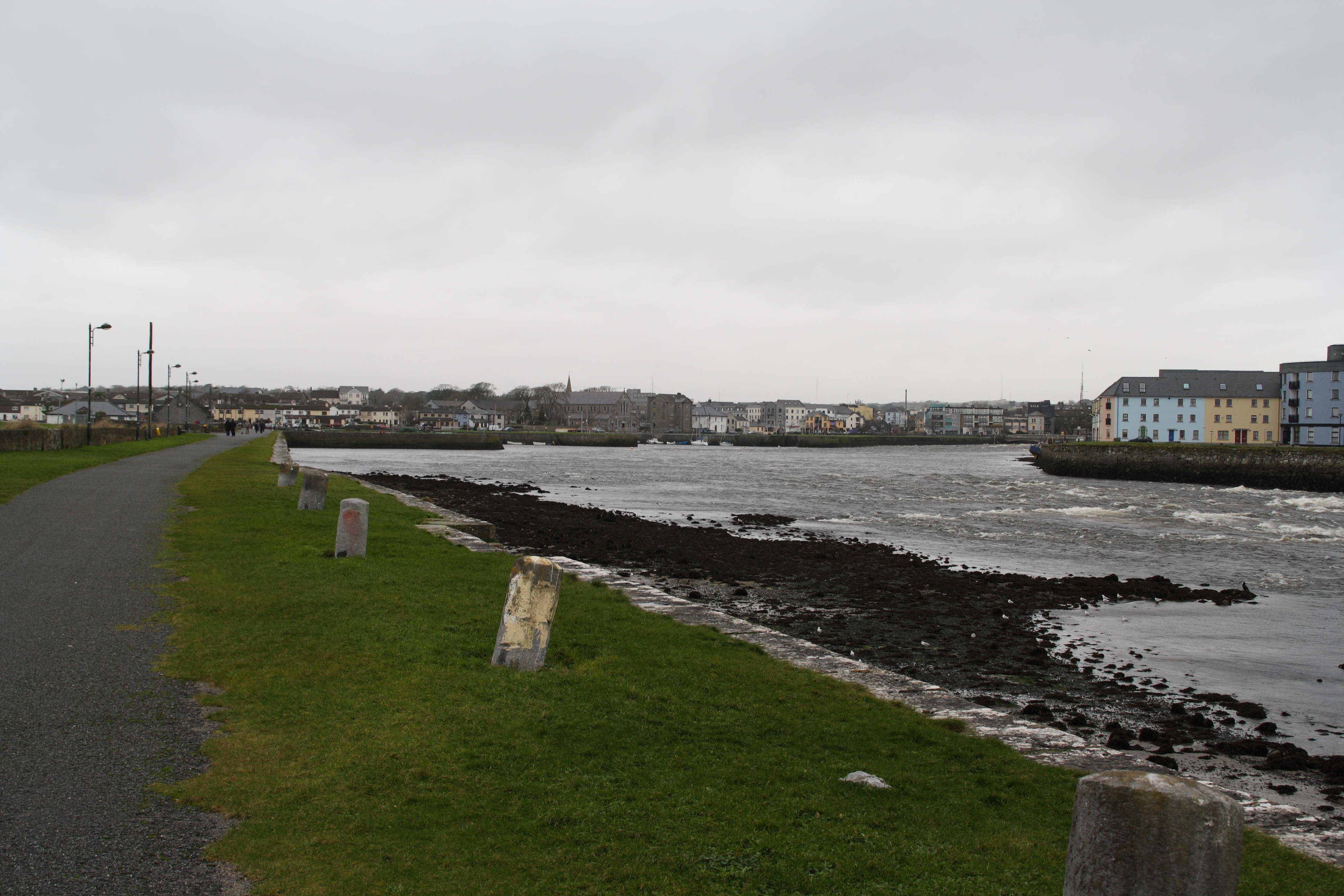 IndicatedFairy fort / stone ringfort · 687 yd
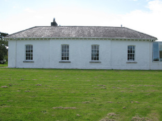 The Rectoryrectory/glebe/vicarage/curate's house · 763 yd
 Sellerna Ch.Church · 833 yd
 Cleggan fishing disaster 28th October 1927Memorial · 1409 yd
 ClegganVisitor information · 1429 yd
 The StrandBeach / strand · 1.4 mi
 Megalithic structure in Aughrus MoreMegalithic structure · 1.7 mi
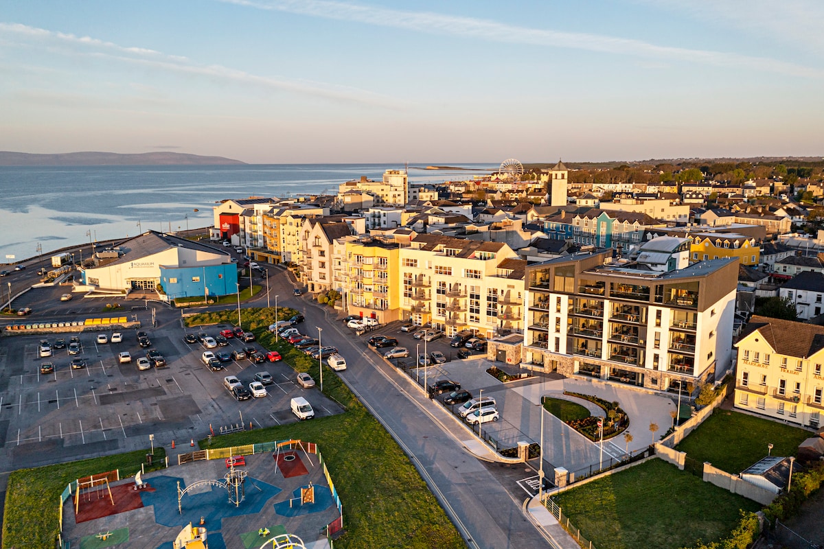 Acton BeachBeach / strand · 1.7 mi
 RoeillaunIslet · 2.0 mi
 Omey IslandIsland · 2.1 mi
 BallynewMountain / peak · 2.1 mi
 Bawn in Doon (ballynahinch By.)Bawn · 2.7 mi