
What is recorded here
In rough hill pasture, on a W-facing slope, overlooking the valley of the Flesk River. The curvilinear remains of a stone wall (T 0.5m; H 0.4m) which protrude intermittently above the surface of the bog. The wall extends (L c. 62m) to the N from an enclosure (KE076-042002-), it then curves around in a westerly direction for a distance of c. 37m and further curves to the SW for c. 70m. A continuation of the initial stretch of wall continues to the N for a further c. 15m. Taller stones (max. H 0.7m) occur at intervals along the wall. Fallen rubble is embedded in the bog beside the wall.
Compiled by: Elizabeth Byrne, Ursula Egan and Sheila Ronan, Archaeological Survey Unit, University College, Cork.
Date of upload: 31 January 2011
The monument record does not grant public access. Check the route and ask the landowner before entering private land.
- What survives
- Recorded monument
Places near here
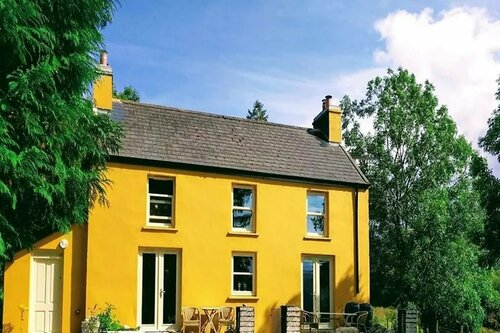 Enclosure in Annagh MoreEnclosure · 114 yd
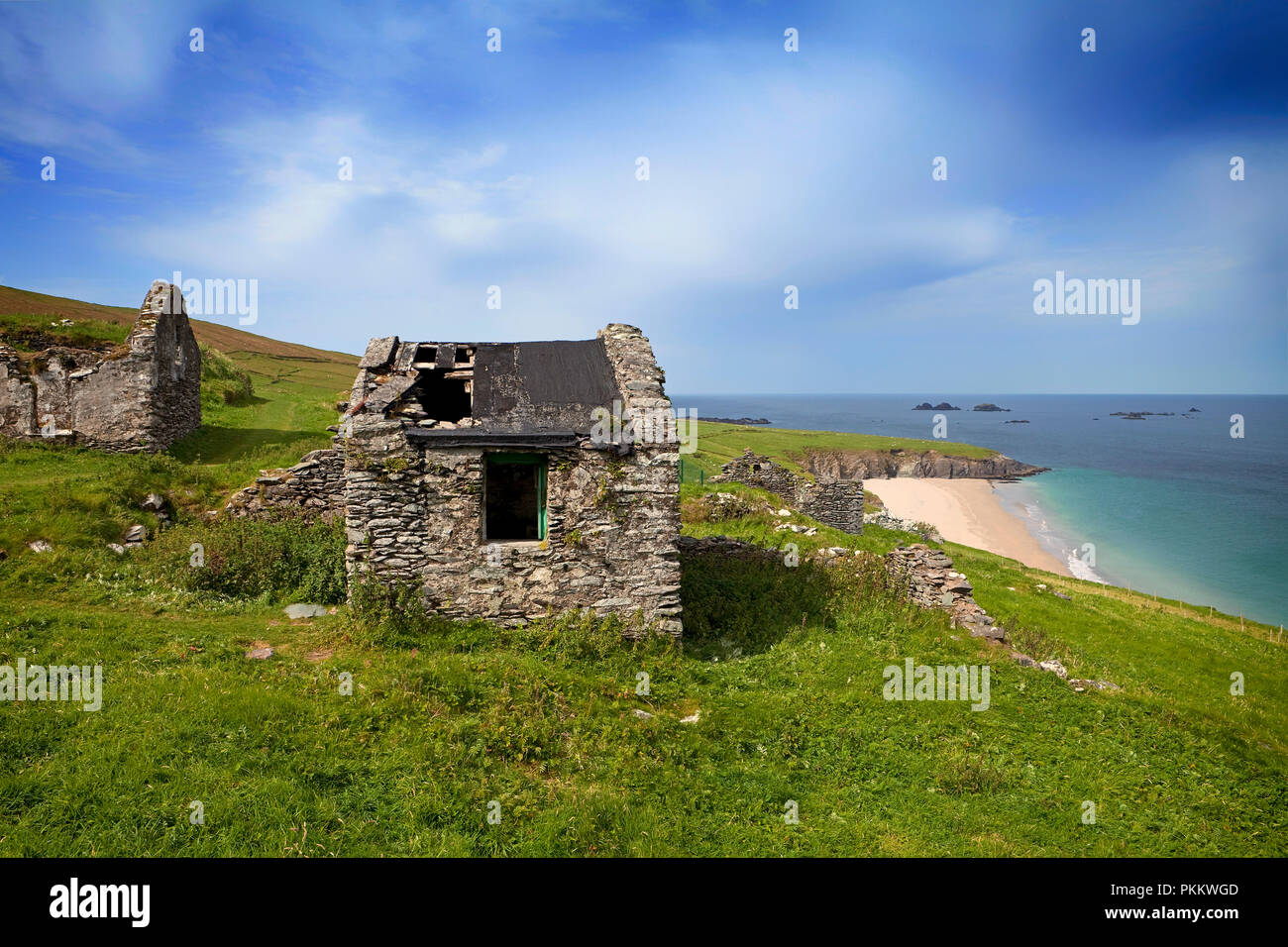 Hut site in Annagh MoreHut site · 234 yd
 CoolcurtogaMountain / peak · 1230 yd
 Killeen MountainMountain / peak · 1.2 mi
 Poulgorm Br.Bridge · 1.6 mi
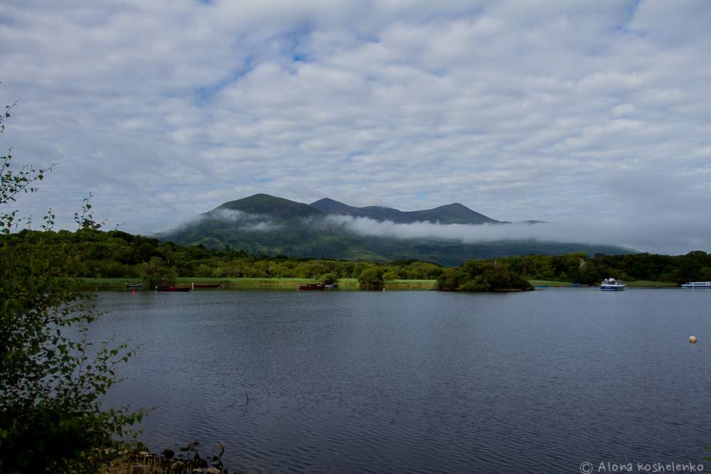 Clydagh Br.Bridge · 1.6 mi
 Killaha Castle (in Ruins)Castle, tower house · 3.1 mi
 BarraduffMemorial · 3.8 mi
 Hidden Valley Pet FarmHeritage attraction · 6.7 mi
 Torc WaterfallWaterfall · 7.9 mi
 Monterey CypressMonterey Cypress · 8.0 mi
 Nohaval WoodWood · 8.0 mi
Other information
Photo: Credit not shown in the picture search · Rights wording not checked; contact us if this picture should be removed