
What is recorded here
An Com holds ghost walls beneath soft bog, three hundred yards east of the wedge tomb. Turf cutters tore open the ground and revealed stone lines that had vanished from memory. The boundary marked human fields, not divine ones, yet it disappeared again when the earth closed over the cut edges. Canuig Mountain still watches the place where ownership became foam.
In pasture, on S-sloping reclaimed bog with views S to Canuig Mountain. Herity (1970a, 8, 11-14) recorded 'field walls partially exposed by fairly recent turf cutting three hundred yards [274m] east of tomb [wedge tomb (KE097-021----)]'. These possible field boundaries are not visible at ground level.
The above description is derived from the published 'Archaeological Inventory of County Kerry. Volume I: South-West Kerry' (Dublin: Stationery Office, 2009). In certain instances the entries have been revised and updated in the light of recent research.
Date of upload: 30 May 2011
The monument record does not grant public access. Check the route and ask the landowner before entering private land.
- What survives
- Recorded monument
Places near here
 Wedge tomb in An Com (bar. Uíbh Ráthach)Wedge tomb · 287 yd
 IndicatedHut site · 926 yd
 Chaytor's StablesRuins · 1358 yd
 Reglaish Church (in Ruins)Church · 1476 yd
 KillurlyMountain / peak · 1495 yd
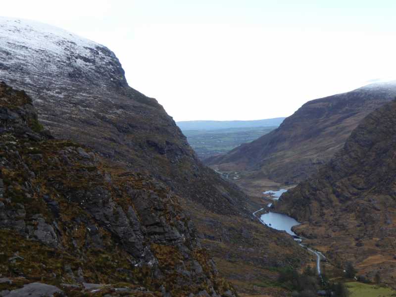 Cnoc Ceannúch (Canuig Mountain)Mountain / peak · 1551 yd
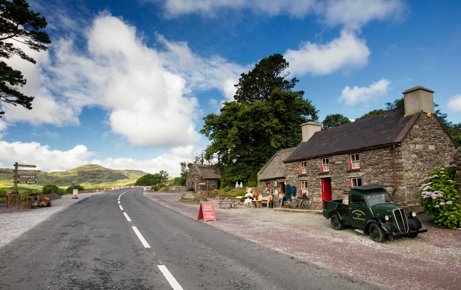 Cuas MaghognaíBay · 1670 yd
 Faill a' BhléireCliff · 1.0 mi
 Liberator "63939" monumentMemorial · 1.3 mi
 Trá PhraisceBeach / strand · 1.4 mi
 Tráigh LeagaighBeach / strand · 1.4 mi
 Cuas Faoi ThalamhCave · 1.5 mi
Other information
Photo: Credit not shown in the picture search · Rights wording not checked; contact us if this picture should be removed