What is recorded here
Ffrith Bedwyn is shown as a mountain / peak on the public map of Conwy. The saved point is the map point or the centre of its mapped shape.
Ffrith Bedwyn rises to approximately 305 metres and is part of the rugged terrain of the Eryri (Snowdonia) range in north Wales. Its prominence contributes to the geographical character of the Conwy area, though specific folklore or detailed geological studies of the peak are not widely documented.
This does not grant access. Check current paths, opening conditions and ownership before entering.
Places near here
 Moel UnbenMountain / peak · 776 yd
 Pen-y-MwdwlCairn · 1191 yd
 Melai FarmhouseOld home or work place · 1321 yd
 Mountain pastureMountain or hill · 1346 yd
 MelaiHouse · 1364 yd
 Nant y PlwmWood · 1.2 mi
 Tre-pys-llygodMountain / peak · 1.5 mi
 War MemorialMemorial · 1.6 mi
 The Little GirlMemorial · 1.6 mi
 Stone houses at Llanfair THStanding or carved stone · 2.2 mi
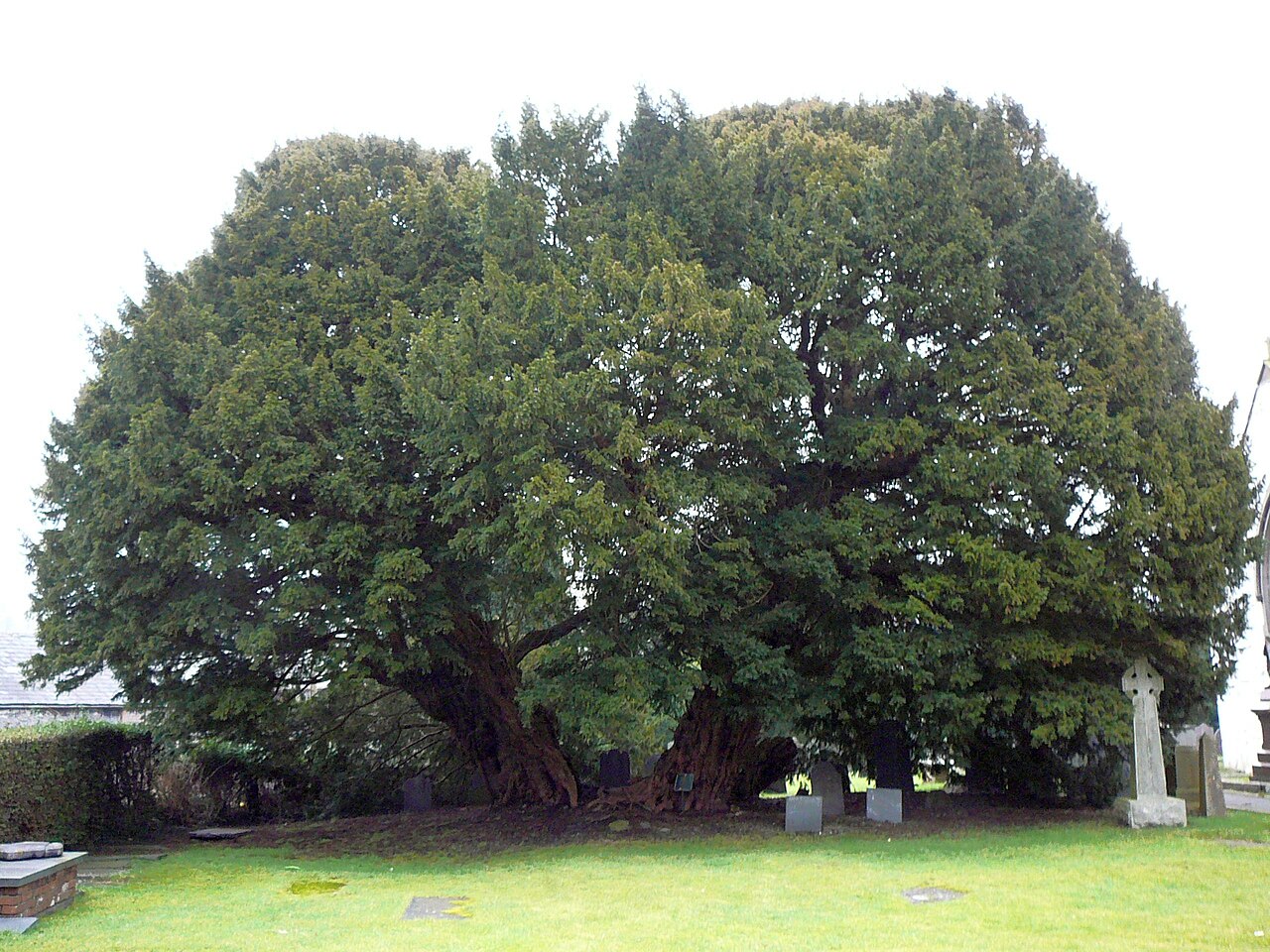 Langernyw YewEuropean Yew · 2.3 mi
 Steep hillMountain or hill · 5.5 mi