What is recorded here
A standing stone 3.04m high × 1.06m wide × 0.18m thick. Situated in tidal waters off Fegart Point and is locally believed to be a monument and not a navigation mark.
The above description was derived from the 'Archaeological Survey of County Donegal. A description of the field antiquities of the County from the Mesolithic Period to the 17th century.' Compiled by: Brian Lacey with Eamon Cody, Claire Cotter, Judy Cuppage, Noel Dunne, Vincent Hurley, Celie O'Rahilly, Paul Walsh and Seán Ó Nualláin (Lifford: Donegal County Council, 1983). In certain instances the entries have been revised and updated.
Date of upload: 22 September 2008
Likely dating to the Neolithic or Early Bronze Age, Fegart standing stone may have functioned as a territorial marker, ceremonial monument, or astronomical alignment feature. Local belief suggests it is a prehistoric monument rather than a modern navigation aid, though its specific meaning or use remains unrecorded.
The monument record does not grant public access. Check the route and ask the landowner before entering private land.
- What survives
- Recorded monument
Places near here
 Magheranaul Wedge TombWedge tomb · 986 yd
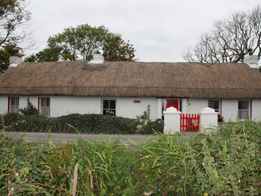 Rose Cottagehouse · 1534 yd
 Malin Presbyterian Meeting Housechurch/chapel · 1.3 mi
 Cross in Carrowreagh OR CraignacallyCross · 1.3 mi
 Dough Famine VillageHeritage attraction · 1.7 mi
 Doagh Famine VillageMuseum · 1.7 mi
 CastleCastle, unclassified · 1.9 mi
 Lag GraveyardGraveyard · 2.2 mi
 Five Finger StrandBeach / strand · 2.2 mi
 Bawn in CarrickabraghyBawn · 3.2 mi
 Carndonagh Early Church GraveyardGraveyard · 3.2 mi
 Glashedy IslandIslet · 4.2 mi