What is recorded here
Farranrory Castle (in Ruins) is a settlement cluster in Farranrory Lower, County Tipperary, Ireland. It stands on a low grassy rise in wet upland country with a stream sixty metres to the north and views in every direction. The surviving tower house has a seventeenth-century building attached to its west face, while eighteenth-century farmyard outhouses stand to the south and north. The Civil Survey of 1654 to 1656 described the place as a good little castle with a thatched house and some cabins.
On low rise of grassland in wet poorly drained land in upland region with good views in all directions. Nearby stream 60m to N. In the Civil Survey (1654-6) the settlement is described as 'a good little castle with a good thatcht house & some cabbins' (Simington 1931, vol. 1, 115). Of this settlement the tower house (TS049-051001-) with a 17th-century house attached to the W face of the castle survive. There are 18th-century farmyard outhouses to the S and N of the castle. In the field to the SE of the castle there are several low undulating earthworks, however, as no definite pattern or building outline is apparent it is likely that these are in fact drainage features associated with this wet field which has a stream running along its E side. The precise location and extent of the settlement associated with Farranrory Castle is unknown.
Compiled by: Jean Farrelly
Date of upload: 27 May 2015
The monument record does not grant public access. Check the route and ask the landowner before entering private land.
- What survives
- Recorded monument
Places near here
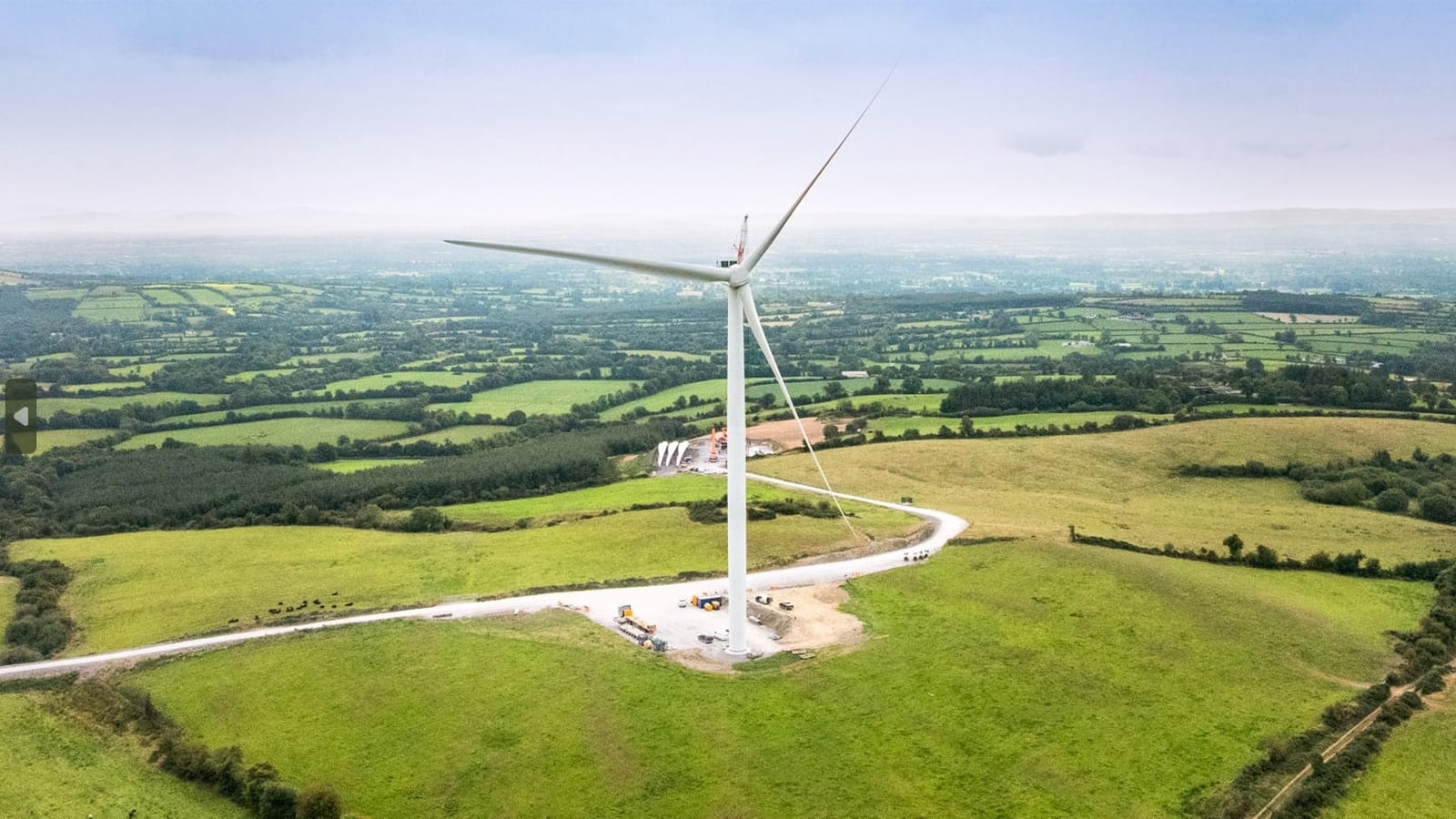 Enclosure in Farranrory LowerEnclosure · 191 yd
 Farranrory CastleCastle · 824 yd
 IndicatedFairy fort / earthen ringfort · 1462 yd
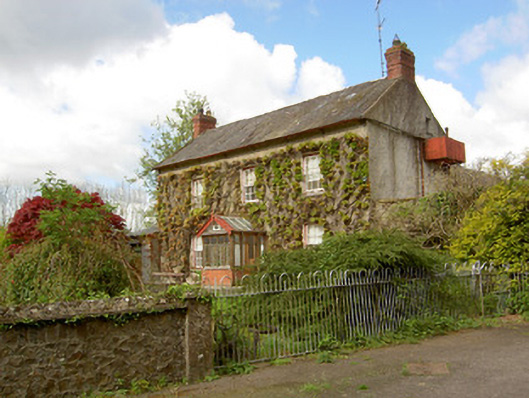 Jessfield Househouse · 1618 yd
 Top Field at Carey'sForest · 1716 yd
 The Oak FieldForest · 1720 yd
 Warhouse HillMountain / peak · 1.2 mi
 The Warhousehouse · 1.2 mi
 Ballingarry Castle (ruins)Archaeological place · 2.6 mi
 Bregaun HillMountain / peak · 3.8 mi
 Ballykeefe AmphitheatreHeritage attraction · 4.4 mi
 Ballykeefe QuarryCliff · 4.4 mi