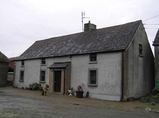
What is recorded here
Detached four-bay single-storey farmhouse with half-dormer attic, c.1850, probably originally thatched incorporating fabric of earlier range, pre-1840, on site with lean-to entrance windbreak. Extensively renovated, c.1975. Pitched slate roof (lean-to to windbreak) with felt covering, clay ridge tiles, rendered chimney stack, and iron rainwater goods on rendered eaves. Unpainted replacement cement rendered walls, c.1975, over random rubble stone construction retaining rendered, ruled and lined walls to windbreak. Square-headed window openings with painted sills, rendered surrounds to ground floor, and replacement timber casement windows, c.1975. Square-headed door opening with replacement timber panelled door, c.1975. Set in own grounds perpendicular to road with stone cobbled courtyard. (ii) Detached four-bay single-storey thatched outbuilding, c.1800, possibly originally cottage. Extensively renovated, c.1925. Hipped roof with water reed thatch having rope work to ridge. Unpainted roughcast cement rendered walls over random rubble stone construction possibly having sections of mud wall construction with sections of replacement mass-concrete construction, c.1925. Square-headed window openings with concrete sills, concealed dressings, and fixed-pane timber windows. Square-headed door openings with concealed dressings, and tongue-and-groove timber panelled half-doors.
Probably originally featuring a thatched roof with water reed thatch gleaned from the banks of the nearby River Suir a modest-scale farmhouse nevertheless remains an important element of the vernacular legacy of County Kilkenny. However, while the retention of the essential form and massing maintains some of the integrity of the composition the external expression of the house has not benefited from the insertion of replacement fittings to the openings. Possibly originally the earlier farmhouse on site a thatched range enhances the group and setting values of the complex in the local landscape.
This does not grant access. Most recorded buildings are privately owned; view them only from public ground unless the owner allows entry.
Places near here
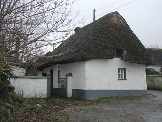 farm housefarm house · 393 yd
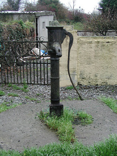 water pumpwater pump · 463 yd
 TobernakillHoly well · 1237 yd
 Corluddy Castle (in Ruins)Castle, tower house · 1728 yd
 CastleCastle, unclassified · 1.5 mi
 Site of ChurchChurch · 1.7 mi
 Sargent's magnoliaSargent's magnolia · 1.7 mi
 Waterford & Suir Valley RailwayHeritage attraction · 1.8 mi
 Sweet micheliaSweet michelia · 2.0 mi
 Mount Congreve GardensHeritage attraction · 2.1 mi
 Donnell's HillMountain / peak · 4.4 mi
 Croughaun HillMountain / peak · 9.2 mi
Other information
Photo: National Inventory of Architectural Heritage · Website use allowed for educational or private purposes with source credit