
What is recorded here
Detached four-bay two-storey direct entry farmhouse, extant 1838, originally three-bay single- or two-storey on a T-shaped plan centred on single-bay single-storey gabled projecting porch to ground floor with single-bay single-storey lean-to outshot (west). Extended, post-1921, producing present composition. Reroofed. Replacement pitched artificial slate roofs including pitched (gabled) artificial slate roof to porch with ridge tiles, rendered chimney stack having capping supporting terracotta pots, concrete coping to gables, and uPVC rainwater goods on timber eaves boards on rendered eaves. Rendered battered walls. Square-headed window openings with concrete or rendered sills, and concealed dressings framing two-over-two timber sash windows having part exposed sash boxes. Set back from line of road in own grounds.
A farmhouse representing an interesting component of the domestic built heritage of Glenisland with the underlying vernacular basis of the composition confirmed by such attributes as the compact direct entry plan form featuring a characteristic outshot; the feint battered silhouette; and the somewhat disproportionate bias of solid to void in the massing: meanwhile, an examination of the third edition of the Ordnance Survey (surveyed 1915; published 1920) clearly illustrates the continued linear development of the farmhouse in the twentieth century. Having been well maintained, the elementary form and massing survive intact together with quantities of the historic or sympathetically replicated fabric, thus upholding the character or integrity of a farmhouse making a pleasing visual statement in a rural street scene.
This does not grant access. Most recorded buildings are privately owned; view them only from public ground unless the owner allows entry.
Places near here
 Catholic Church of the Holy Rosarychurch/chapel · 29 yd
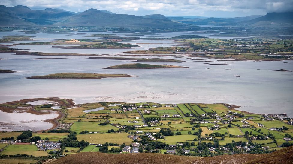 IndicatedFairy fort / earthen ringfort · 853 yd
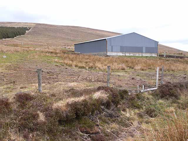 Enclosure in Knockbaun (carra By. Islandeady Par.)Enclosure · 1033 yd
 Glenisland Garda Síochána Stationgarda station/constabulary barracks · 1501 yd
 Low IslandIslet · 1.7 mi
 Tree IslandIslet · 1.8 mi
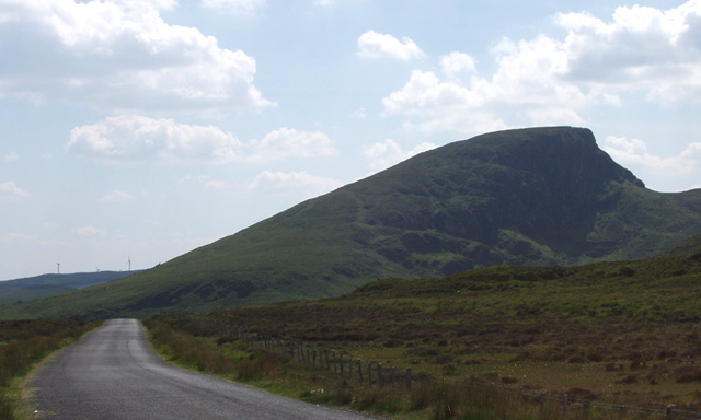 BurrenMountain / peak · 4.1 mi
 Raheens WoodForest · 4.1 mi
 Maria Browne O'DonelMemorial · 4.3 mi
 Brockagh Castle in ruinsCastle, tower house · 4.7 mi
 Cock IslandWood · 4.8 mi
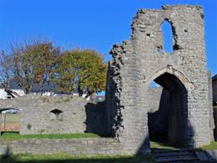 Barry CastleRuins · 4.8 mi
Other information
Photo: National Inventory of Architectural Heritage · Website use allowed for educational or private purposes with source credit