What is recorded here
Wood Island rises forty metres across the eastern edge of Tully Lough, cloaked in green and hiding a thick stone wall that once broke the water. Lynam saw an artificial opening cut through the wall on the east side, a small port where boats might have touched the island before the vegetation swallowed the shape. The water keeps the measurement steady while the land forgets its own boundary, turning a made place into a rumor.
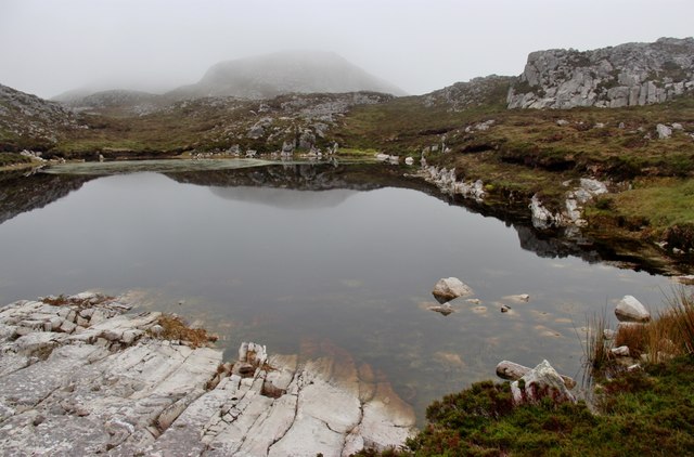
Close to E shore of Tully Lough. Lynam (1922, 167) described Wood Island (D c. 40m) as 'probably a crannog' and recorded that 'A well-built, thick, stone wall, 3 feet [0.9m] high, which ran around it at the water's edge, still exists in many places'. He also noted 'an artificial creek or port opening through the wall' on the E side. None of these features were visible at time of visit but the island was obscured by heavy growth.
The above description is derived from the published 'Archaeological Inventory of County Galway Vol. I - West Galway'. Compiled by Paul Gosling (Dublin: Stationery Office, 1993).
Date of upload: 05 August 2010
The monument record does not grant public access. Check the route and ask the landowner before entering private land.
- What survives
- Recorded monument
Places near here
 Enclosure in DerryinverEnclosure · 794 yd
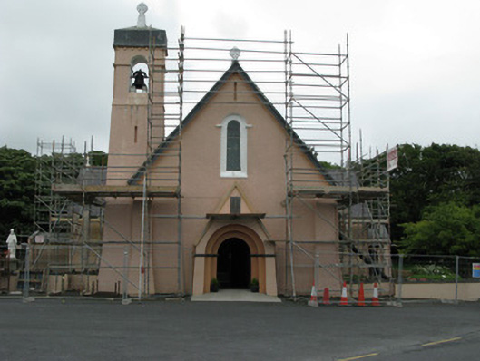 Catholic Church of Christ the Kingchurch/chapel · 1042 yd
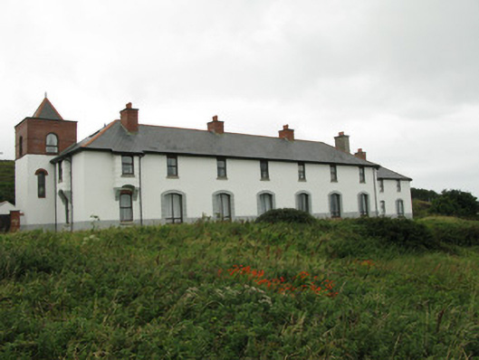 coastguard stationcoastguard station · 1249 yd
 Tully MountainMountain / peak · 1.2 mi
 Enclosure in TooreenaEnclosure · 1.3 mi
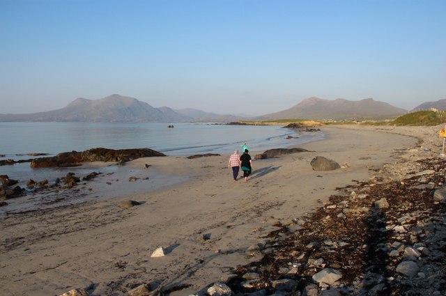 Renvyle BeachBeach / strand · 1.4 mi
 Green IslandIslet · 1.7 mi
 RoeillaunIslet · 1.7 mi
 Tully Mountain WestMountain / peak · 1.7 mi
 Rinvyle Castle (in ruins)Castle, tower house · 2.5 mi
 Renvyle CastleCastle · 2.5 mi
 Connemara National Park Visitor CentreHeritage attraction · 2.9 mi