What is recorded here
No visible fort remains at Teernea, only a shallow stone spread and a modern gap beside the adjoining cashel. Westropp saw two equal rings joined like a figure eight, with neat masonry rising four feet or more. The fairytale name fits the shape, but the stones belong to people who built a defensible home on a narrow slope.
In hazel scrub on a N-facing slope, and abutting the E side of an adjoining cashel (CL017-098----). Hachured on both the first (1842 and Cassini (1916) editions of the OS 6-inch map. Classified as an ‘enclosure (conjoined)’ in the RMP (1996). Described by Westropp (1913, 242) as a ‘curious fort, 8-shaped in plan, of two equal rings, and excellent masonry with two faces and filling. It seems to have been built in one piece: the wall is usually 4 feet [c. 1.2m] to 4 feet 6 inches [c. 1.4m] high’.
An oval cashel (int. diams 26.2m NE-SW; 23.1m NW-SE) has been significantly denuded since Westropp’s visit and is defined by a collapsed stone spread (Wth 3-6m; H 0.6-1m). A modern-looking gap connects the monument to the abutting cashel (CL017-098----) to the W. Internally, an amorphous clearance cairn (diam. c.7m) lies at the centre.
Compiled by: Gearóid Conroy
Date of upload: 21-10-2025
The monument record does not grant public access. Check the route and ask the landowner before entering private land.
- What survives
- Recorded monument
Places near here
 IndicatedFairy fort / stone ringfort · 833 yd
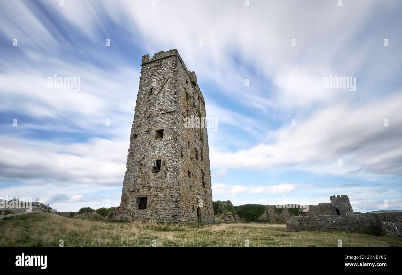 Enclosure in Loughaunnaweelaun,ballyogan BegEnclosure · 1052 yd
 Templemore Church (in Ruins)Church · 1331 yd
 Church in KellsChurch · 1.2 mi
 Castle (in Ruins)Castle, unclassified · 1.6 mi
 Battle of TullyodeaBattlefield · 1.9 mi
 Ballyporty Castle (in ruins) / TowerCastle, tower house · 2.3 mi
 Dromore WoodWood · 2.8 mi
 Burren National ParkVisitor information · 3.3 mi
 Mullagh MoreMountain / peak · 3.3 mi
 Slieve RoeMountain / peak · 3.7 mi
 Ballygriffy WoodWood · 3.8 mi