What is recorded here
Half-buried in coarse pasture, the cashel at Teergonean still holds its shape: a shallow circle of broken limestone, wide enough to walk around and low enough for grass to swallow. It is the kind of place people called a fairy fort because it refused to explain itself, and sheep have since leaned against its western wall as if the mystery no longer mattered.
On a rise in limestone pavement in coarse pasture, within a large multiperiod field system (CL008-109001-). Hachured on the 1842 and 1920 eds. of the OS 6-inch map. Listed as ‘Enclosure’ in the RMP (1996). This almost circular cashel (21m E-W; 20.5m N-S) is defined by a low collapsed and grass-covered limestone wall (int. H 0.15m; ext. H 0.35m; Wth 3.8-5.5m), with a 4m stretch of its outer wall-face visible at N. A later sheepfold is built against it at W. The interior is slightly concave. Another cashel (CL008-130001-) lies c. 55m to the E.
Compiled by: Olive Alcock and Conn Herriott
Date of upload: 16 August 2022
The monument record does not grant public access. Check the route and ask the landowner before entering private land.
- What survives
- Recorded monument
Places near here
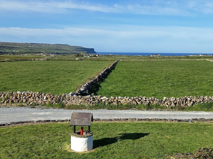 Enclosure in BallycahanEnclosure · 80 yd
 Enclosure in TeergoneanEnclosure · 117 yd
 CastleCastle, unclassified · 1549 yd
 Catholic Church of the Holy Rosarychurch/chapel · 1565 yd
 Aran View SwalletCave · 1720 yd
 Roadford Bridgebridge · 1.0 mi
 Doonmacfelim Castle (in Ruins)Castle, tower house · 1.0 mi
 Fisherstreet PotCave · 1.1 mi
 Doolin PointHeadland · 1.2 mi
 Doolin FerriesHeritage attraction · 1.2 mi
 Wild Atlantic Way: Doolin PierVisitor information · 1.2 mi
 Ballaghaline PointHeadland · 1.4 mi