What is recorded here
One chamber, one door, one living edge. The fort is forty-four metres across, with a stone-lined entrance at the southwest and a road cutting through its southern boundary. It stands east of Stranavaun fort, where the land still distinguishes inside from outside.
Internal diameter 44m N-S, 43m E-W
This univallate stone fort is cut to the S to E by the Tarbert ferry road, and it lies E of the 'Stranavaun fort' (979). It consists of a sub-circular area enclosed by a well-defined bank, which rises to 3.2m externally and on average 1.4m internally. Access to the interior is gained by a stone-lined entrance to the SW. It is 2.5m wide and c 6.8 long.
The above description is derived from C. Toal, ‘North Kerry Archaeological Survey’. Dingle. Brandon in association with FAS Training and Employment Authority (1995), no. 799. In certain instances the entries have been revised and updated in the light of recent research.
Date of upload: 2 August 2013
The monument record does not grant public access. Check the route and ask the landowner before entering private land.
- What survives
- Recorded monument
Places near here
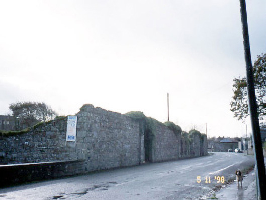 creamerycreamery · 259 yd
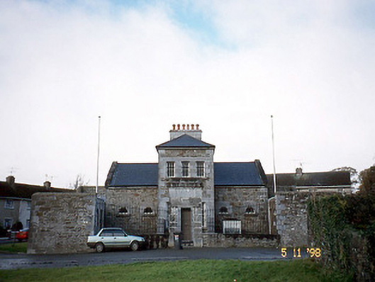 Tarbert Courthousecourt house · 301 yd
 Tarbet BayBay · 1191 yd
 Hachured, Massys HillBastioned fort · 1381 yd
 TobertehHoly well · 1.0 mi
 Tarmon Castle (in ruins)Castle, unclassified · 2.0 mi
 Labasheeda Fort (19th Century)Castle · 2.3 mi
 Clonderalaw BayBay · 3.8 mi
 St Senan's WellSpring · 4.2 mi
 Mountshannon WoodWood · 4.6 mi
 Crag WoodWood · 4.7 mi
 Mountshannon EstateHeritage attraction · 5.7 mi