What is recorded here
No wall or ditch remains visible today, only scattered stones and a rocky outcrop between two cultivated fields. The ground itself suggests a cashel, a natural stronghold shaped by human hands rather than a built earthen ring. Whatever lived there has returned to the soil, leaving behind a name and a memory of fortitude.
Marked on the 1st and 2nd editions of the OS 6-inch maps. There are no visible remains of this 'Fort'. Judging by the terrain it seems likely that it would have been a cashel rather than a earthen monument. It was situated on rock outcrop, between two cultivated fields, and there are scatters of loose rock and stones lying about.
The above description was derived from the 'Archaeological Survey of County Donegal. A description of the field antiquities of the County from the Mesolithic Period to the 17th century.' Compiled by: Brian Lacey with Eamon Cody, Claire Cotter, Judy Cuppage, Noel Dunne, Vincent Hurley, Celie O'Rahilly, Paul Walsh and Seán Ó Nualláin (Lifford: Donegal County Council, 1983). In certain instances the entries have been revised and updated.
Date of upload: 22 September 2008
This remains an important historical record, but the official description says the monument is no longer visible or has been destroyed. The monument record does not grant public access. Check the route and ask the landowner before entering private land.
- What survives
- No visible remains or recorded as destroyed
Places near here
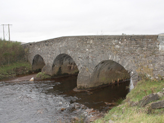 Kinnagoe Bridgebridge · 1.1 mi
 Ballymagan Fairy FortFairy fort / earthen ringfort · 1.2 mi
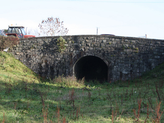 bridgebridge · 1.3 mi
 Kinnagoe Stone RingfortFairy fort / stone ringfort · 1.4 mi
 Stragill BeachBeach / strand · 2.4 mi
 O'Doherty's KeepCastle · 2.5 mi
 Neds Point FortFort · 2.7 mi
 Lady's Bay, BuncranaOfficial bathing water · 3.1 mi
 Slieve MainMountain / peak · 3.4 mi
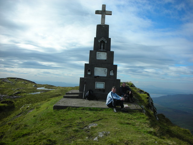 BulbinMountain / peak · 3.6 mi
 Glendowen craft shopHeritage attraction · 4.5 mi
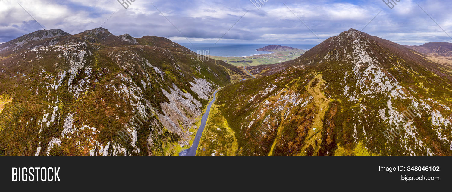 Gap of MarmoreHeritage attraction · 4.8 mi