What is recorded here
Fairy fort in Sheeaun, County Galway: a subcircular stone enclosure about forty metres across, marked on old maps with a cave inside, was levelled during land improvement and now hides beneath grassland and a nearby pile of clearance stone. It may have been a cashel, a small defended place where people lived, kept animals or marked ownership of the rock-outcrop land. The stones still exist, scattered or buried, waiting for someone to picture the shape they once made.
In an area of improved grassland and rock outcrop. Marked on the OS 6-inch maps as a subcircular enclosure (c. 40m E-W; c. 35m N-S). A ‘Cave’ (GA128-074001-) is marked within the interior on the 1838 edition of the map. The monument was levelled during land-improvement operations and no visible surface trace survives. Some of the material in the large pile of clearance stone in its vicinity may have come from it suggesting that it may have been a cashel.
Compiled by: Galway Archaeological Survey, UCG
Date of upload: 18 June 2019
The monument record does not grant public access. Check the route and ask the landowner before entering private land.
- What survives
- Recorded monument
Places near here
 Man-made underground passage in Ballybaun (kiltartan By.)Man-made underground passage · 633 yd
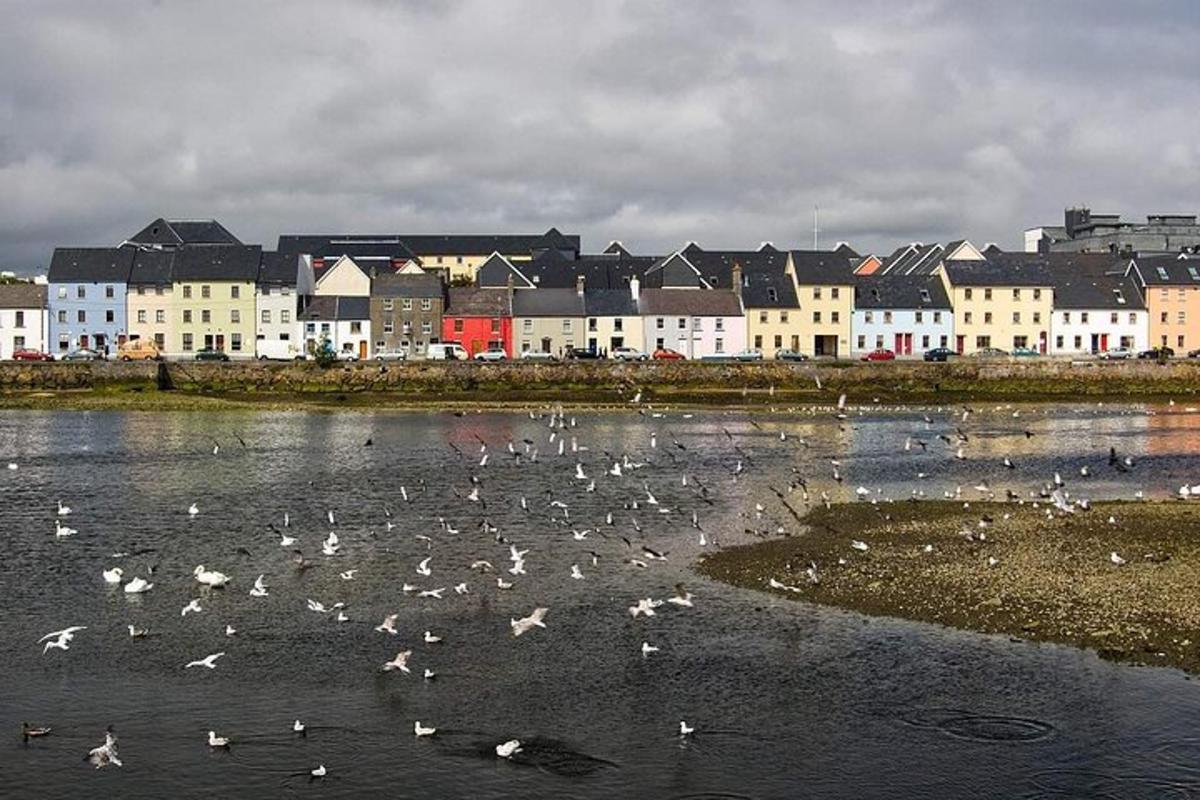 IndicatedFairy fort / earthen ringfort · 650 yd
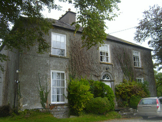 Lisheen Housecountry house · 1700 yd
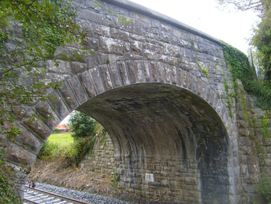 bridgebridge · 1.0 mi
 Bawn in Castlequarter (kiltartan By.)Bawn · 1.6 mi
 Kilmacduagh MonasteryHeritage attraction · 1.7 mi
 Kilmacduagh Monastic SiteVisitor information · 1.7 mi
 Shanclogh Glebe House (in ruins)Castle, hall-house · 1.7 mi
 Swan IslandIsland · 2.4 mi
 Keaghery IslandWood · 2.4 mi
 Apple IslandWood · 2.5 mi
 Castle IslandIsland · 2.6 mi